Martí night lights from space
Night Light of Martí (Matanzas) from space (Cuba) Src. Average luminocity for 10x10km area is 3.627% and for 50x50km: 1.4411%.
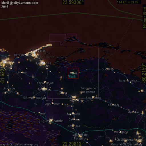
Analysis of Martí night lights 2016
Square area 10x10 km:
 0%
0%90-99
0%80-89
0.6%70-79
0.99%60-69
0%50-59
0.99%40-49
1.79%30-39
0.99%20-29
0.99%10-19
0%0-9
93.65%Square area 50x50 km:
0%90-99
0.08%80-89
0.18%70-79
0.3%60-69
0.24%50-59
0.26%40-49
0.33%30-39
0.4%20-29
0.21%10-19
0.16%0-9
97.85%Clear (daylight) street map image can be seen on geolist.org.
Map coordinates:
23° 35' 35" North, 81° 37' 19.7" West
22° 56' 49.7" North, 80° 55' 8.5" West
22° 17' 53.2" North, 80° 12' 57.2" West
Some cities around Martí sort by population:
• Cárdenas
31 km =19.3 mi,  288°
288°
• Colón
25.2 km =15.7 mi,  176°
176°
• Corralillo
34.4 km =21.4 mi,  83°
83°
• Jovellanos
32.1 km =19.9 mi,  240°
240°
• Pedro Betancourt
45.2 km =28.1 mi, 237°
• Perico
22.2 km =13.8 mi,  207°
207°
• Varadero
40.6 km =25.2 mi,  304°
304°
• Los Arabos
31.6 km =19.6 mi,  139°
139°
3547519 (p: 13,439)
Sources (retrieved 2019-11-25):
» Earth at Night: Flat Maps 2012, 2016