Corralillo night lights from space
Night Light of Corralillo (Villa Clara) from space (Cuba) Src. Average luminocity for 10x10km area is 1.9504% and for 50x50km: 0.2641%.
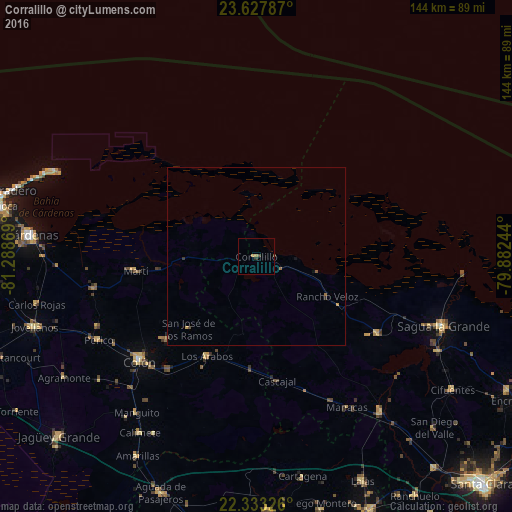
Analysis of Corralillo night lights 2016
Square area 10x10 km:
 0%
0%90-99
0%80-89
0%70-79
0.79%60-69
0.79%50-59
0%40-49
0.99%30-39
0.6%20-29
0.4%10-19
0%0-9
96.43%Square area 50x50 km:
0%90-99
0%80-89
0%70-79
0.09%60-69
0.09%50-59
0.03%40-49
0.09%30-39
0.1%20-29
0.03%10-19
0.06%0-9
99.5%Clear (daylight) street map image can be seen on geolist.org.
Map coordinates:
23° 37' 40.3" North, 81° 17' 19.3" West
22° 58' 55.6" North, 80° 35' 8" West
22° 19' 59.7" North, 79° 52' 56.8" West
Some cities around Corralillo sort by population:
• Colón
43.8 km =27.2 mi,  228°
228°
• Sagua la Grande
55.8 km =34.7 mi,  110°
110°
• Santo Domingo
56.3 km =35 mi,  141°
141°
• Perico
50.2 km =31.2 mi,  241°
241°
• Calimete
60 km =37.3 mi,  213°
213°
• Martí
34.4 km =21.4 mi,  263°
263°
• Quemado de Güines
40.4 km =25.1 mi,  122°
122°
• Los Arabos
31.3 km =19.4 mi, 206°
3563317 (p: 51,881)
Sources (retrieved 2019-11-25):
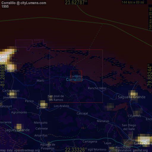
» NASA, Earths city lights 1995
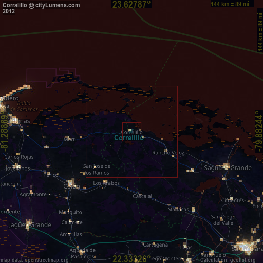
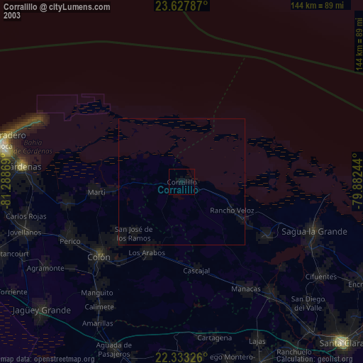
» NASA city lights 2003
» Earth at Night: Flat Maps 2012, 2016