Los Arabos night lights from space
Night Light of Los Arabos (Matanzas) from space (Cuba) Src. Average luminocity for 10x10km area is 4.1687% and for 50x50km: 1.7061%.
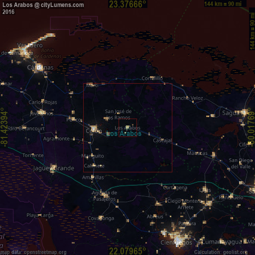
Analysis of Los Arabos night lights 2016
Square area 10x10 km:
 0%
0%90-99
0%80-89
1.19%70-79
1.19%60-69
0%50-59
1.59%40-49
0.79%30-39
0%20-29
1.59%10-19
0%0-9
93.65%Square area 50x50 km:
0.02%90-99
0.08%80-89
0.36%70-79
0.28%60-69
0.13%50-59
0.37%40-49
0.56%30-39
0.26%20-29
0.3%10-19
0.25%0-9
97.39%Clear (daylight) street map image can be seen on geolist.org.
Map coordinates:
23° 22' 36" North, 81° 25' 26.2" West
22° 43' 46.9" North, 80° 43' 14.9" West
22° 4' 46.7" North, 80° 1' 3.7" West
Some cities around Los Arabos sort by population:
• Colón
18.9 km =11.7 mi,  266°
266°
• Jagüey Grande
47.5 km =29.5 mi,  241°
241°
• Corralillo
31.3 km =19.4 mi,  26°
26°
• Perico
30.8 km =19.1 mi,  278°
278°
• Aguada de Pasajeros
40.5 km =25.2 mi,  198°
198°
• Calimete
29.2 km =18.1 mi,  221°
221°
• Rodas
46.3 km =28.8 mi,  158°
158°
• Martí
31.6 km =19.6 mi,  319°
319°
3549463 (p: 12,504)
Sources (retrieved 2019-11-25):
» Earth at Night: Flat Maps 2012, 2016