Cárdenas night lights from space
Night Light of Cárdenas (Matanzas) from space (Cuba) Src. Average luminocity for 10x10km area is 26.8214% and for 50x50km: 5.1969%.
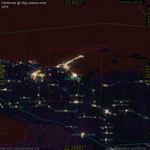
Analysis of Cárdenas night lights 2016
Square area 10x10 km:
 3.77%
3.77%90-99
3.37%80-89
0.6%70-79
6.35%60-69
2.58%50-59
5.16%40-49
4.96%30-39
2.18%20-29
1.98%10-19
35.91%0-9
33.13%Square area 50x50 km:
0.33%90-99
0.53%80-89
0.29%70-79
1.3%60-69
0.86%50-59
0.48%40-49
0.96%30-39
0.64%20-29
0.75%10-19
5.19%0-9
88.67%Clear (daylight) street map image can be seen on geolist.org.
Map coordinates:
23° 40' 55.6" North, 81° 54' 32.7" West
23° 2' 11.8" North, 81° 12' 21.5" West
22° 23' 16.8" North, 80° 30' 10.2" West
Some cities around Cárdenas sort by population:
• Matanzas
38 km =23.6 mi,  270°
270°
• Jovellanos
25.9 km =16.1 mi,  176°
176°
• Pedro Betancourt
35.5 km =22.1 mi,  193°
193°
• Limonar
23 km =14.3 mi,  245°
245°
• Perico
35.3 km =21.9 mi,  147°
147°
• Varadero
13.9 km =8.6 mi,  343°
343°
• Martí
31 km =19.3 mi,  108°
108°
• Bolondrón
39.2 km =24.4 mi,  219°
219°
3565432 (p: 98,515)
Sources (retrieved 2019-11-25):
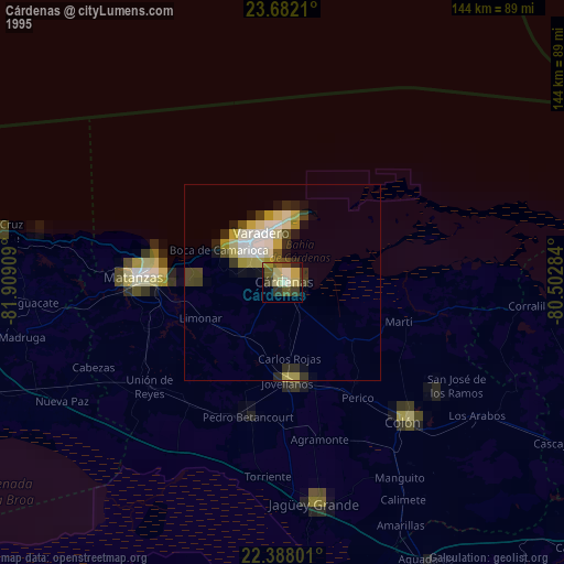
» NASA, Earths city lights 1995
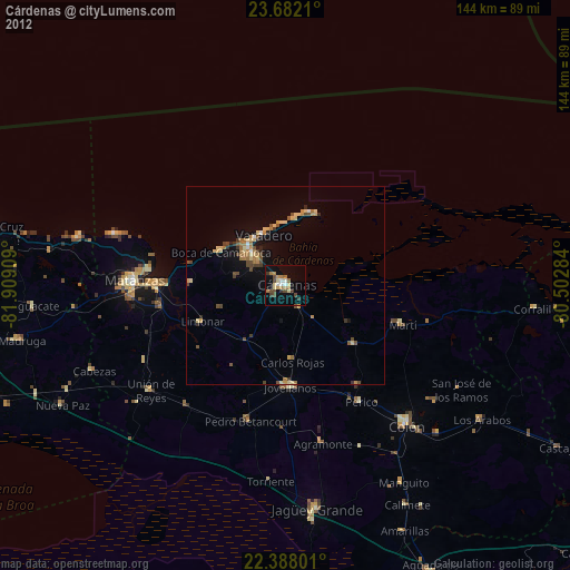
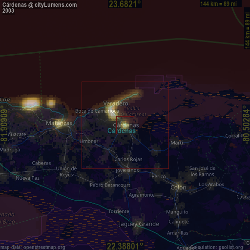
» NASA city lights 2003
» Earth at Night: Flat Maps 2012, 2016