Colón night lights from space
Night Light of Colón (Matanzas) from space (Cuba) Src. Average luminocity for 10x10km area is 16.9663% and for 50x50km: 2.5067%.
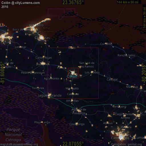
Analysis of Colón night lights 2016
Square area 10x10 km:
 0.4%
0.4%90-99
1.98%80-89
3.57%70-79
3.57%60-69
0%50-59
3.37%40-49
3.97%30-39
2.78%20-29
0.99%10-19
2.18%0-9
77.18%Square area 50x50 km:
0.02%90-99
0.08%80-89
0.59%70-79
0.41%60-69
0.31%50-59
0.48%40-49
0.81%30-39
0.48%20-29
0.35%10-19
0.41%0-9
96.08%Clear (daylight) street map image can be seen on geolist.org.
Map coordinates:
23° 22' 3.5" North, 81° 36' 29" West
22° 43' 14.3" North, 80° 54' 17.7" West
22° 4' 14" North, 80° 12' 6.5" West
Some cities around Colón sort by population:
• Jagüey Grande
31.5 km =19.6 mi,  226°
226°
• Jovellanos
30.8 km =19.1 mi,  287°
287°
• Pedro Betancourt
39.5 km =24.5 mi,  271°
271°
• Perico
12.9 km =8 mi,  295°
295°
• Aguada de Pasajeros
37.8 km =23.5 mi,  171°
171°
• Calimete
20.7 km =12.9 mi,  181°
181°
• Martí
25.2 km =15.7 mi,  356°
356°
• Los Arabos
18.9 km =11.7 mi,  86°
86°
3563843 (p: 63,882)
Sources (retrieved 2019-11-25):
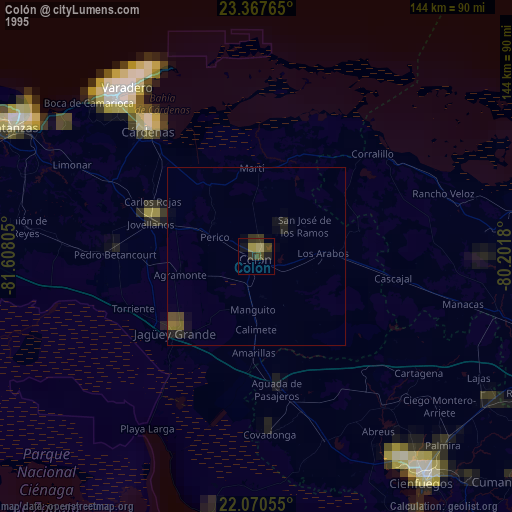
» NASA, Earths city lights 1995
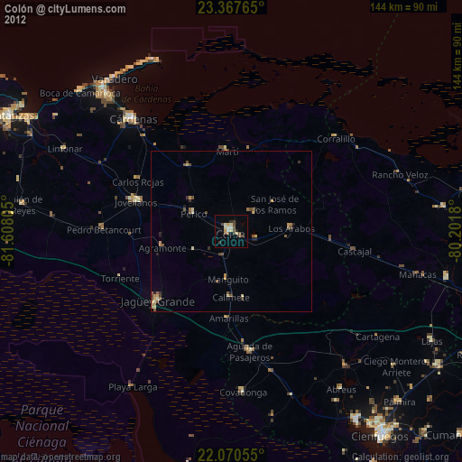
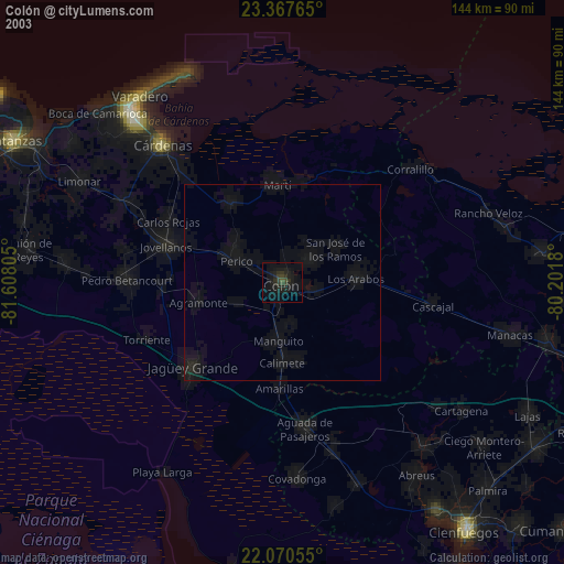
» NASA city lights 2003
» Earth at Night: Flat Maps 2012, 2016