Varadero night lights from space
Night Light of Varadero (Matanzas) from space (Cuba) Src. Average luminocity for 10x10km area is 23.8788% and for 50x50km: 4.8299%.
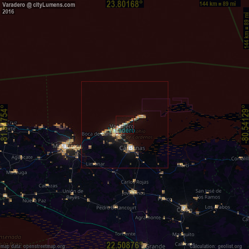
Analysis of Varadero night lights 2016
Square area 10x10 km:
 3.41%
3.41%90-99
3.98%80-89
1.33%70-79
5.49%60-69
1.7%50-59
1.52%40-49
1.33%30-39
4.73%20-29
4.17%10-19
26.7%0-9
45.64%Square area 50x50 km:
0.34%90-99
0.52%80-89
0.24%70-79
1.27%60-69
0.78%50-59
0.38%40-49
0.79%30-39
0.49%20-29
0.7%10-19
5.07%0-9
89.42%Clear (daylight) street map image can be seen on geolist.org.
Map coordinates:
23° 48' 6" North, 81° 56' 51.1" West
23° 9' 24.4" North, 81° 14' 39.9" West
22° 30' 31.5" North, 80° 32' 28.6" West
Some cities around Varadero sort by population:
• Matanzas
36.4 km =22.6 mi,  249°
249°
• Cárdenas
13.9 km =8.6 mi,  163°
163°
• Jovellanos
39.6 km =24.6 mi,  172°
172°
• Pedro Betancourt
48 km =29.8 mi,  185°
185°
• Limonar
28.6 km =17.8 mi,  216°
216°
• Perico
48.9 km =30.4 mi,  151°
151°
• Martí
40.6 km =25.2 mi,  124°
124°
• Bolondrón
48.5 km =30.1 mi,  205°
205°
3534632 (p: 20,000)
Sources (retrieved 2019-11-25):
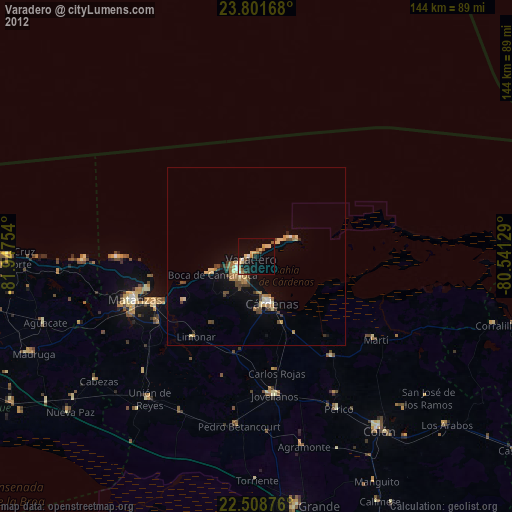
» Earth at Night: Flat Maps 2012, 2016