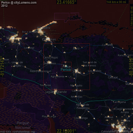
Perico night lights from space
Night Light of Perico (Matanzas) from space (Cuba) Src. Average luminocity for 10x10km area is 7.2956% and for 50x50km: 2.7348%.
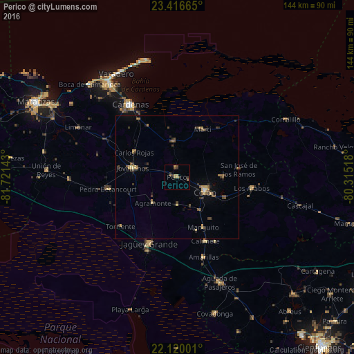
Analysis of Perico night lights 2016
Square area 10x10 km:
 0%
0%90-99
0%80-89
0.79%70-79
1.79%60-69
2.78%50-59
1.19%40-49
1.39%30-39
3.17%20-29
0%10-19
0%0-9
88.89%Square area 50x50 km:
0.02%90-99
0.13%80-89
0.49%70-79
0.44%60-69
0.42%50-59
0.49%40-49
0.73%30-39
0.68%20-29
0.32%10-19
0.45%0-9
95.83%Clear (daylight) street map image can be seen on geolist.org.
Map coordinates:
23° 24' 59.9" North, 81° 43' 17.1" West
22° 46' 11.5" North, 81° 1' 5.9" West
22° 7' 12" North, 80° 18' 54.6" West
Some cities around Perico sort by population:
• Cárdenas
35.3 km =21.9 mi,  327°
327°
• Colón
12.9 km =8 mi,  115°
115°
• Jagüey Grande
29.3 km =18.2 mi,  202°
202°
• Jovellanos
18.1 km =11.2 mi,  281°
281°
• Pedro Betancourt
28.2 km =17.5 mi,  260°
260°
• Calimete
28.4 km =17.6 mi,  157°
157°
• Martí
22.2 km =13.8 mi,  27°
27°
• Los Arabos
30.8 km =19.1 mi,  98°
98°
3544393 (p: 24,073)
Sources (retrieved 2019-11-25):
» Earth at Night: Flat Maps 2012, 2016