San Vicente night lights from space
Night Light of San Vicente (Antioquia) from space (Colombia) Src. Average luminocity for 10x10km area is 2.7597% and for 50x50km: 19.4551%.
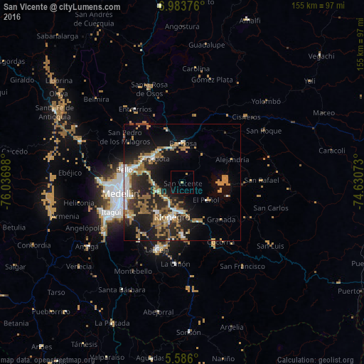
Analysis of San Vicente night lights 2016
Square area 10x10 km:
 0%
0%90-99
0%80-89
0.87%70-79
0.87%60-69
0%50-59
0%40-49
0%30-39
0%20-29
0%10-19
2.16%0-9
96.1%Square area 50x50 km:
2.09%90-99
2.66%80-89
1.29%70-79
3.38%60-69
4.02%50-59
5.04%40-49
0.53%30-39
2.18%20-29
7.98%10-19
11.92%0-9
58.91%Clear (daylight) street map image can be seen on geolist.org.
Map coordinates:
6° 59' 1.5" North, 76° 2' 13.1" West
6° 17' 7.3" North, 75° 20' 1.9" West
5° 35' 9.6" North, 74° 37' 50.6" West
Some cities around San Vicente sort by population:
• Rionegro
15.1 km =9.4 mi,  196°
196°
• Copacabana
20.5 km =12.7 mi,  289°
289°
• Marinilla
12.4 km =7.7 mi,  181°
181°
• Carmen de Viboral
22.6 km =14 mi, 180°
• Santuario
18.1 km =11.2 mi,  154°
154°
• Barbosa
17 km =10.6 mi,  0°
0°
• Guarne
12.1 km =7.5 mi,  267°
267°
• Guatapé
19.7 km =12.2 mi,  106°
106°
3668302 (p: 5,020)
Sources (retrieved 2019-11-25):
» Earth at Night: Flat Maps 2012, 2016