Barbosa night lights from space
Night Light of Barbosa (Antioquia) from space (Colombia) Src. Average luminocity for 10x10km area is 20.0563% and for 50x50km: 11.026%.
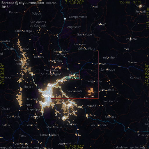
Analysis of Barbosa night lights 2016
Square area 10x10 km:
 1.08%
1.08%90-99
1.08%80-89
0.87%70-79
7.36%60-69
6.49%50-59
4.76%40-49
0%30-39
0%20-29
0%10-19
17.1%0-9
61.26%Square area 50x50 km:
1.1%90-99
1.55%80-89
0.6%70-79
2.58%60-69
2.41%50-59
1.93%40-49
0.35%30-39
1.17%20-29
3.11%10-19
7.04%0-9
78.18%Clear (daylight) street map image can be seen on geolist.org.
Map coordinates:
7° 8' 10.6" North, 76° 2' 4.2" West
6° 26' 17.1" North, 75° 19' 52.9" West
5° 44' 20.2" North, 74° 37' 41.7" West
Some cities around Barbosa sort by population:
• Bello
27.4 km =17 mi,  245°
245°
• Copacabana
22.1 km =13.7 mi,  242°
242°
• Guarne
21.5 km =13.4 mi,  215°
215°
• Santa Rosa de Osos
27.3 km =17 mi,  328°
328°
• Donmatías
8.8 km =5.5 mi,  306°
306°
• San Pedro
25.1 km =15.6 mi,  275°
275°
• Cisneros
29 km =18 mi,  67°
67°
• San Vicente
17 km =10.6 mi,  180°
180°
3689205 (p: 16,707)
Sources (retrieved 2019-11-25):
» Earth at Night: Flat Maps 2012, 2016