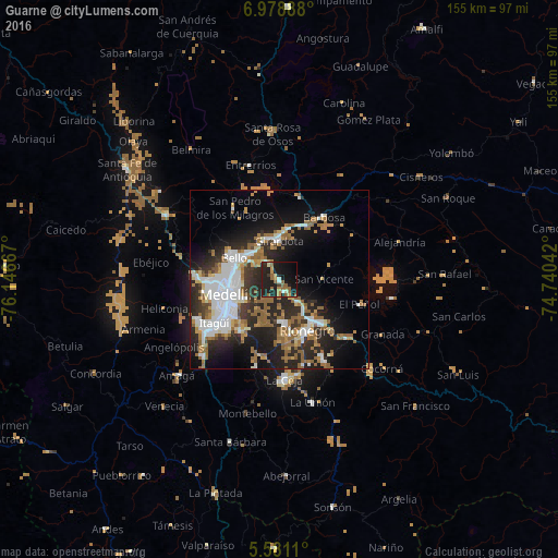
Guarne night lights from space
Night Light of Guarne (Antioquia) from space (Colombia) Src. Average luminocity for 10x10km area is 29.4892% and for 50x50km: 28.0819%.
Analysis of Guarne night lights 2016
Square area 10x10 km:
 0.65%
0.65%90-99
3.9%80-89
1.52%70-79
4.55%60-69
6.49%50-59
8.87%40-49
0.87%30-39
1.08%20-29
13.2%10-19
43.72%0-9
15.15%Square area 50x50 km:
6.23%90-99
4.78%80-89
1.86%70-79
3%60-69
4.66%50-59
5.88%40-49
1.04%30-39
3.1%20-29
10.39%10-19
14.17%0-9
44.89%Clear (daylight) street map image can be seen on geolist.org.
Map coordinates:
6° 58' 44" North, 76° 8' 48" West
6° 16' 49.7" North, 75° 26' 36.7" West
5° 34' 52" North, 74° 44' 25.5" West
Some cities around Guarne sort by population:
• Medellín
13.6 km =8.5 mi,  256°
256°
• Bello
14.1 km =8.8 mi,  296°
296°
• Itagüí
20.2 km =12.6 mi,  238°
238°
• Envigado
20.1 km =12.5 mi,  234°
234°
• Rionegro
15.9 km =9.9 mi,  151°
151°
• Copacabana
10.3 km =6.4 mi,  315°
315°
• Marinilla
16.8 km =10.4 mi,  135°
135°
• San Vicente
12.1 km =7.5 mi,  87°
87°
3681429 (p: 14,270)
Sources (retrieved 2019-11-25):
» Earth at Night: Flat Maps 2012, 2016