Guatapé night lights from space
Night Light of Guatapé (Antioquia) from space (Colombia) Src. Average luminocity for 10x10km area is 10.1623% and for 50x50km: 7.4012%.
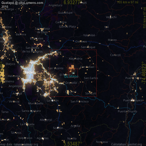
Analysis of Guatapé night lights 2016
Square area 10x10 km:
 0.22%
0.22%90-99
0.65%80-89
0%70-79
6.49%60-69
1.3%50-59
0%40-49
0%30-39
0.87%20-29
0%10-19
4.98%0-9
85.5%Square area 50x50 km:
0.64%90-99
0.72%80-89
0.32%70-79
2.25%60-69
1.57%50-59
1.6%40-49
0.01%30-39
0.4%20-29
1.79%10-19
5.17%0-9
85.54%Clear (daylight) street map image can be seen on geolist.org.
Map coordinates:
6° 55' 58" North, 75° 51' 59.3" West
6° 14' 3.4" North, 75° 9' 48.1" West
5° 32' 5.5" North, 74° 27' 36.8" West
Some cities around Guatapé sort by population:
• Rionegro
24.9 km =15.5 mi,  249°
249°
• Marinilla
20.3 km =12.6 mi, 250°
• Santuario
15.4 km =9.6 mi,  226°
226°
• San Carlos
19.5 km =12.1 mi,  105°
105°
• San Rafael
16.6 km =10.3 mi,  66°
66°
• Granada
10.4 km =6.5 mi,  193°
193°
• Cocorná
19.8 km =12.3 mi, 187°
• San Vicente
19.7 km =12.2 mi,  286°
286°
3681368 (p: 5,389)
Sources (retrieved 2019-11-25):
» Earth at Night: Flat Maps 2012, 2016