Marinilla night lights from space
Night Light of Marinilla (Antioquia) from space (Colombia) Src. Average luminocity for 10x10km area is 43.1178% and for 50x50km: 19.2425%.
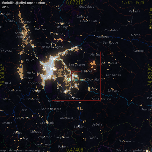
Analysis of Marinilla night lights 2016
Square area 10x10 km:
 7.85%
7.85%90-99
6.4%80-89
3.31%70-79
5.58%60-69
9.3%50-59
10.95%40-49
0%30-39
4.96%20-29
19.01%10-19
23.97%0-9
8.68%Square area 50x50 km:
2.13%90-99
2.71%80-89
1.35%70-79
3.1%60-69
3.94%50-59
5%40-49
0.5%30-39
2.25%20-29
8.02%10-19
11.7%0-9
59.28%Clear (daylight) street map image can be seen on geolist.org.
Map coordinates:
6° 52' 19.7" North, 76° 2' 21.6" West
6° 10' 24.9" North, 75° 20' 10.4" West
5° 28' 26.7" North, 74° 37' 59.1" West
Some cities around Marinilla sort by population:
• Rionegro
4.6 km =2.9 mi,  243°
243°
• La Ceja
19.1 km =11.9 mi,  214°
214°
• Carmen de Viboral
10.1 km =6.3 mi,  179°
179°
• Santuario
8.9 km =5.5 mi,  116°
116°
• Guarne
16.8 km =10.4 mi,  315°
315°
• Granada
17 km =10.6 mi,  101°
101°
• Guatapé
20.3 km =12.6 mi,  70°
70°
• San Vicente
12.4 km =7.7 mi,  1°
1°
3675263 (p: 24,171)
Sources (retrieved 2019-11-25):
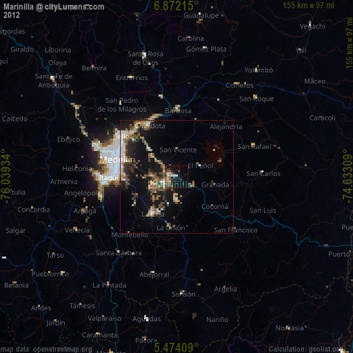
» Earth at Night: Flat Maps 2012, 2016