Carmen de Viboral night lights from space
Night Light of Carmen de Viboral (Antioquia) from space (Colombia) Src. Average luminocity for 10x10km area is 28.2025% and for 50x50km: 15.9225%.
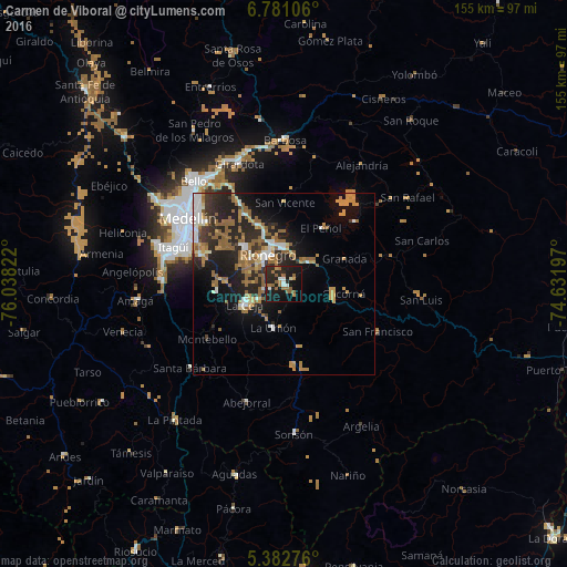
Analysis of Carmen de Viboral night lights 2016
Square area 10x10 km:
 2.27%
2.27%90-99
3.1%80-89
0.41%70-79
2.89%60-69
5.79%50-59
9.09%40-49
0%30-39
1.03%20-29
19.63%10-19
38.02%0-9
17.77%Square area 50x50 km:
1.63%90-99
1.92%80-89
1.12%70-79
2.75%60-69
3.22%50-59
4.57%40-49
0.39%30-39
1.83%20-29
6.78%10-19
9.78%0-9
65.99%Clear (daylight) street map image can be seen on geolist.org.
Map coordinates:
6° 46' 51.8" North, 76° 2' 17.6" West
6° 4' 56.5" North, 75° 20' 6.3" West
5° 22' 57.9" North, 74° 37' 55.1" West
Some cities around Carmen de Viboral sort by population:
• Rionegro
9.2 km =5.7 mi,  332°
332°
• La Ceja
12.3 km =7.6 mi,  242°
242°
• Marinilla
10.1 km =6.3 mi,  359°
359°
• Santuario
10 km =6.2 mi,  51°
51°
• La Unión
12.4 km =7.7 mi,  193°
193°
• Retiro
18.8 km =11.7 mi,  261°
261°
• Granada
17.9 km =11.1 mi,  67°
67°
• Cocorná
16.8 km =10.4 mi,  99°
99°
3687318 (p: 21,152)
Sources (retrieved 2019-11-25):
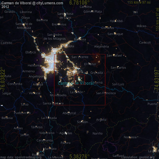
» Earth at Night: Flat Maps 2012, 2016