Limón night lights from space
Night Light of Limón from space (Costa Rica) Src. Average luminocity for 10x10km area is 28.7314% and for 50x50km: 2.5133%.
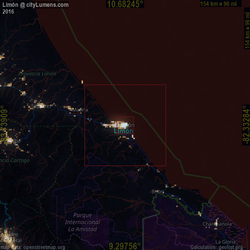
Analysis of Limón night lights 2016
Square area 10x10 km:
 7.23%
7.23%90-99
5.37%80-89
3.31%70-79
0.62%60-69
3.1%50-59
2.07%40-49
4.75%30-39
0%20-29
2.69%10-19
39.46%0-9
31.4%Square area 50x50 km:
0.45%90-99
0.48%80-89
0.15%70-79
0.14%60-69
0.27%50-59
0.22%40-49
0.46%30-39
0.15%20-29
0.24%10-19
2.92%0-9
94.51%Clear (daylight) street map image can be seen on geolist.org.
Map coordinates:
10° 40' 56.8" North, 83° 44' 20.7" West
9° 59' 26.7" North, 83° 2' 9.5" West
9° 17' 51.2" North, 82° 19' 58.2" West
Some cities around Limón sort by population:
• Turrialba
71.6 km =44.5 mi,  262°
262°
• Guápiles
85.7 km =53.3 mi,  287°
287°
• Siquirres
52.9 km =32.9 mi,  282°
282°
• Changuinola, PA
84.2 km =52.3 mi,  137°
137°
• El Empalme, PA
85.5 km =53.1 mi, 138°
• Guácimo
75.5 km =46.9 mi, 289°
• Cot
92.3 km =57.4 mi, 263°
• Pocora
65.4 km =40.6 mi, 287°
3622247 (p: 63,081)
Sources (retrieved 2019-11-25):
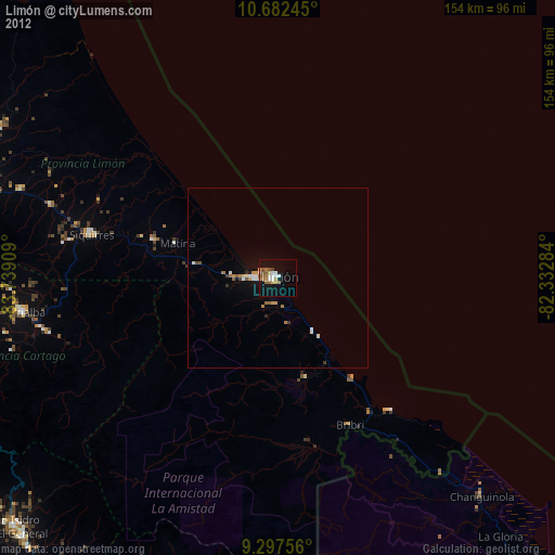
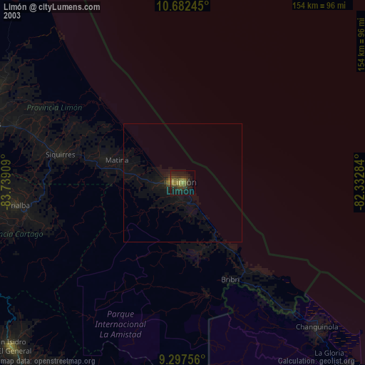
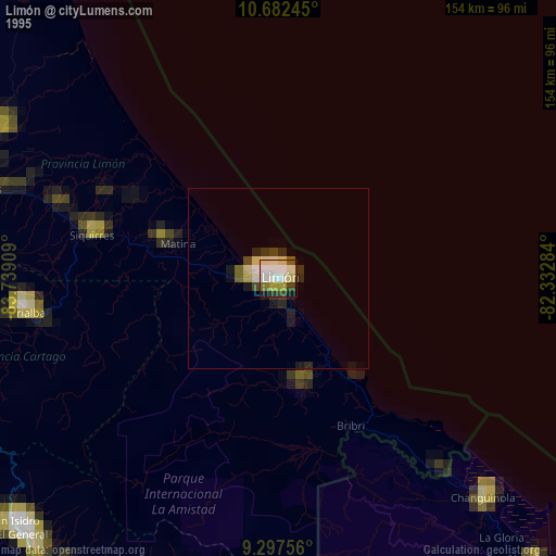
» NASA, Earths city lights 1995
» NASA city lights 2003
» Earth at Night: Flat Maps 2012, 2016