Puerto Carreño night lights from space
Night Light of Puerto Carreño (Vichada) from space (Colombia) Src. Average luminocity for 10x10km area is 6.3946% and for 50x50km: 0.2783%.
Analysis of Puerto Carreño night lights 2016
Square area 10x10 km:
 0%
0%90-99
1.45%80-89
0.83%70-79
1.03%60-69
2.27%50-59
0.21%40-49
1.86%30-39
0.62%20-29
0%10-19
0.62%0-9
91.12%Square area 50x50 km:
0%90-99
0.06%80-89
0.03%70-79
0.04%60-69
0.09%50-59
0.01%40-49
0.08%30-39
0.03%20-29
0.03%10-19
0.03%0-9
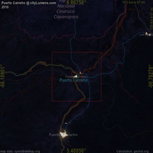
99.6%Clear (daylight) street map image can be seen on geolist.org.
Map coordinates:
6° 53' 15.3" North, 68° 11' 20.4" West
6° 11' 20.5" North, 67° 29' 9.2" West
5° 29' 22.4" North, 66° 46' 57.9" West
Some cities around Puerto Carreño sort by population:
• Calabozo, VE
304.2 km =189 mi,  1°
1°
• Valle de La Pascua, VE
373.9 km =232.3 mi,  25°
25°
• San Fernando de Apure, VE
188.9 km =117.4 mi, 0°
• Arauca
375 km =233 mi,  285°
285°
• Guasdualito, VE
377.1 km =234.3 mi, 288°
• Villa Bruzual, VE
393.1 km =244.3 mi,  332°
332°
• Cumaribo
321.2 km =199.6 mi,  232°
232°
• Inírida
262.9 km =163.4 mi,  190°
190°
3671519 (p: 10,216)
Sources (retrieved 2019-11-25):
» Earth at Night: Flat Maps 2012, 2016