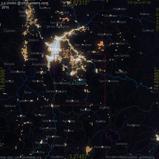
La Unión night lights from space
Night Light of La Unión (Antioquia) from space (Colombia) Src. Average luminocity for 10x10km area is 9.4463% and for 50x50km: 11.8364%.
Analysis of La Unión night lights 2016
Square area 10x10 km:
 1.03%
1.03%90-99
1.45%80-89
0%70-79
1.03%60-69
1.65%50-59
1.45%40-49
0.21%30-39
0.62%20-29
1.03%10-19
11.36%0-9
80.17%Square area 50x50 km:
1.5%90-99
1.39%80-89
0.93%70-79
1.89%60-69
2.47%50-59
3.35%40-49
0.15%30-39
1.12%20-29
4.54%10-19
7.48%0-9
75.17%Clear (daylight) street map image can be seen on geolist.org.
Map coordinates:
6° 40' 23.3" North, 76° 3' 54.3" West
5° 58' 27.5" North, 75° 21' 43" West
5° 16' 28.5" North, 74° 39' 31.8" West
Some cities around La Unión sort by population:
• Rionegro
20.1 km =12.5 mi,  356°
356°
• La Ceja
10.1 km =6.3 mi,  308°
308°
• Marinilla
22.3 km =13.9 mi,  7°
7°
• Carmen de Viboral
12.4 km =7.7 mi, 13°
• Santuario
21.2 km =13.2 mi,  30°
30°
• Retiro
18.2 km =11.3 mi,  300°
300°
• Abejorral
21.8 km =13.5 mi,  199°
199°
• Cocorná
21.6 km =13.4 mi,  64°
64°
3676923 (p: 8,361)
Sources (retrieved 2019-11-25):
» Earth at Night: Flat Maps 2012, 2016