Cocorná night lights from space
Night Light of Cocorná (Antioquia) from space (Colombia) Src. Average luminocity for 10x10km area is 9.1364% and for 50x50km: 7.5045%.
Analysis of Cocorná night lights 2016
Square area 10x10 km:
 0%
0%90-99
0%80-89
0%70-79
9.92%60-69
0%50-59
0%40-49
0%30-39
0%20-29
0%10-19
0%0-9
90.08%Square area 50x50 km:
0.68%90-99
0.78%80-89
0.46%70-79
1.71%60-69
1.6%50-59
2%40-49
0.04%30-39
0.64%20-29
2.43%10-19
4.56%0-9
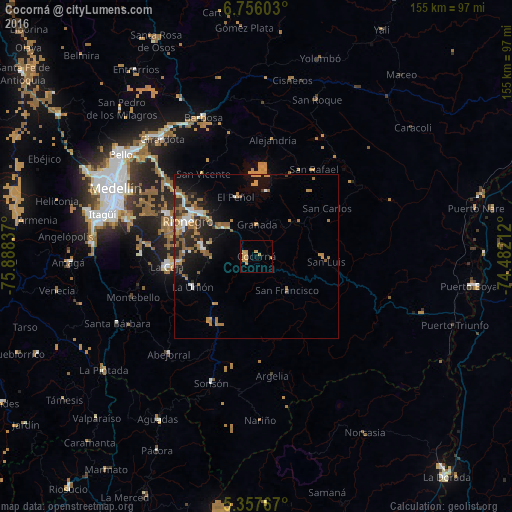
85.08%Clear (daylight) street map image can be seen on geolist.org.
Map coordinates:
6° 45' 21.7" North, 75° 53' 18.1" West
6° 3' 26.3" North, 75° 11' 6.9" West
5° 21' 27.6" North, 74° 28' 55.6" West
Some cities around Cocorná sort by population:
• Rionegro
23.5 km =14.6 mi,  297°
297°
• Marinilla
21.1 km =13.1 mi,  307°
307°
• Carmen de Viboral
16.8 km =10.4 mi,  279°
279°
• Santuario
12.5 km =7.8 mi,  315°
315°
• La Unión
21.6 km =13.4 mi,  244°
244°
• San Carlos
25.7 km =16 mi,  55°
55°
• Granada
9.6 km =6 mi,  359°
359°
• Guatapé
19.8 km =12.3 mi,  7°
7°
3686158 (p: 5,257)
Sources (retrieved 2019-11-25):
» Earth at Night: Flat Maps 2012, 2016