La Ceja night lights from space
Night Light of La Ceja (Antioquia) from space (Colombia) Src. Average luminocity for 10x10km area is 30.376% and for 50x50km: 19.1706%.
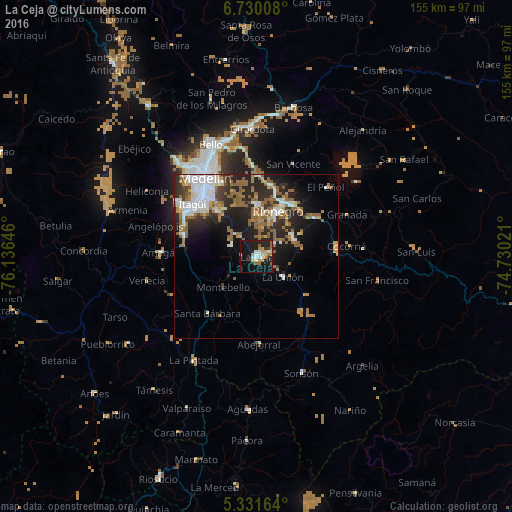
Analysis of La Ceja night lights 2016
Square area 10x10 km:
 3.1%
3.1%90-99
4.13%80-89
5.17%70-79
2.69%60-69
6.82%50-59
5.37%40-49
0%30-39
1.45%20-29
10.12%10-19
39.46%0-9
21.69%Square area 50x50 km:
3.98%90-99
2.9%80-89
1.26%70-79
2.12%60-69
3.56%50-59
4.82%40-49
0.63%30-39
1.79%20-29
7.18%10-19
9.34%0-9
62.44%Clear (daylight) street map image can be seen on geolist.org.
Map coordinates:
6° 43' 48.3" North, 76° 8' 11.3" West
6° 1' 52.7" North, 75° 25' 60" West
5° 19' 53.9" North, 74° 43' 48.8" West
Some cities around La Ceja sort by population:
• Caldas
23.3 km =14.5 mi,  286°
286°
• Rionegro
15.3 km =9.5 mi,  25°
25°
• Marinilla
19.1 km =11.9 mi, 34°
• Carmen de Viboral
12.3 km =7.6 mi,  62°
62°
• Santuario
22.2 km =13.8 mi, 57°
• Santa Bárbara
22.9 km =14.2 mi,  220°
220°
• La Unión
10.1 km =6.3 mi,  128°
128°
• Retiro
8.3 km =5.2 mi, 291°
3679554 (p: 36,584)
Sources (retrieved 2019-11-25):
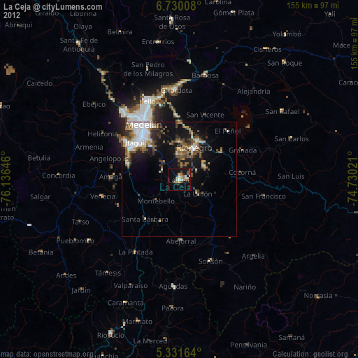
» Earth at Night: Flat Maps 2012, 2016