Villanueva night lights from space
Night Light of Villanueva (Casanare) from space (Colombia) Src. Average luminocity for 10x10km area is 0% and for 50x50km: 0.1404%.
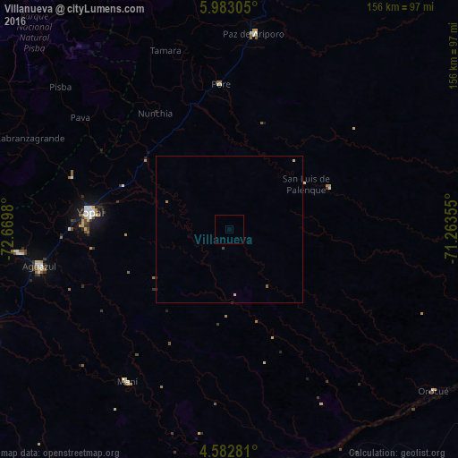
Analysis of Villanueva night lights 2016
Square area 10x10 km:
 0%
0%90-99
0%80-89
0%70-79
0%60-69
0%50-59
0%40-49
0%30-39
0%20-29
0%10-19
0%0-9
100%Square area 50x50 km:
0%90-99
0%80-89
0.07%70-79
0%60-69
0.03%50-59
0.03%40-49
0.02%30-39
0.05%20-29
0.02%10-19
0%0-9
99.78%Clear (daylight) street map image can be seen on geolist.org.
Map coordinates:
5° 58' 59" North, 72° 40' 11.3" West
5° 16' 60" North, 71° 58' 0" West
4° 34' 58.1" North, 71° 15' 48.8" West
Some cities around Villanueva sort by population:
• Sogamoso
117.3 km =72.9 mi,  294°
294°
• Yopal
47.9 km =29.8 mi,  277°
277°
• Aguazul
65.4 km =40.6 mi,  259°
259°
• Monterrey
112.3 km =69.8 mi,  246°
246°
• Maní
62.4 km =38.8 mi,  213°
213°
• Puerto Gaitán
108.6 km =67.5 mi,  186°
186°
• Aquitania
104.8 km =65.1 mi, 284°
• Pesca
123.5 km =76.7 mi, 283°
3665951 (p: 20,032)
Sources (retrieved 2019-11-25):
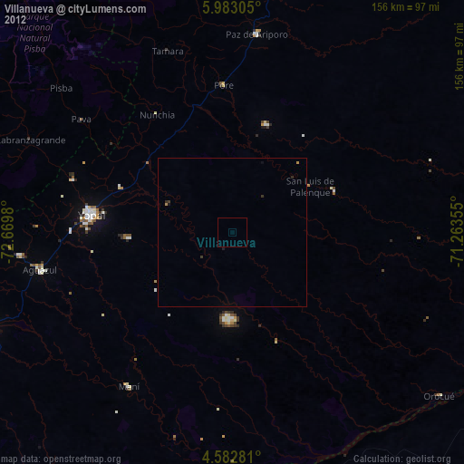
» Earth at Night: Flat Maps 2012, 2016