São Gabriel da Cachoeira night lights from space
Night Light of São Gabriel da Cachoeira (Amazonas) from space (Brazil) Src. Average luminocity for 10x10km area is 6.4784% and for 50x50km: 0.2636%.
Analysis of São Gabriel da Cachoeira night lights 2016
Square area 10x10 km:
 0.22%
0.22%90-99
2.81%80-89
0.43%70-79
1.3%60-69
0.43%50-59
0%40-49
0.65%30-39
1.08%20-29
0.87%10-19
0.87%0-9
91.34%Square area 50x50 km:
0.01%90-99
0.11%80-89
0.02%70-79
0.05%60-69
0.02%50-59
0%40-49
0.03%30-39
0.04%20-29
0.03%10-19
0.03%0-9
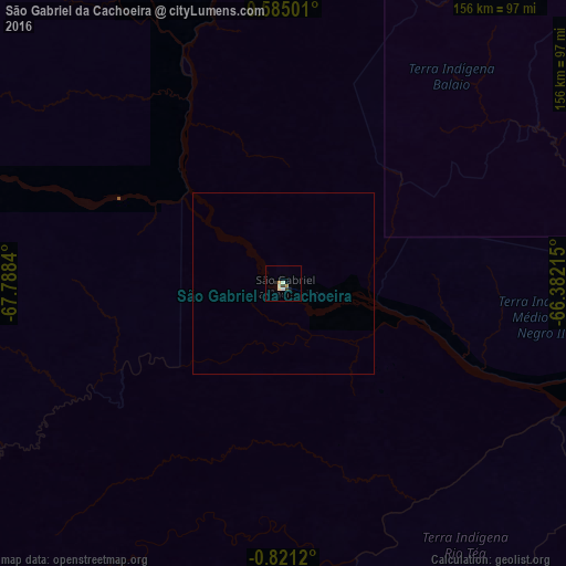
99.65%Clear (daylight) street map image can be seen on geolist.org.
Map coordinates:
0° 35' 6" North, 67° 47' 18.2" West
0° 7' 5.2" South, 67° 5' 7" West
0° 49' 16.3" South, 66° 22' 55.7" West
Some cities around São Gabriel da Cachoeira sort by population:
• Tefé
446.8 km =277.6 mi,  143°
143°
• Fonte Boa
288.4 km =179.2 mi,  157°
157°
• São Paulo de Olivença
413.3 km =256.8 mi,  208°
208°
• Santo Antônio do Içá
345.1 km =214.4 mi,  195°
195°
• Barcelos
472 km =293.3 mi,  101°
101°
• Inírida, CO
452.6 km =281.2 mi,  348°
348°
• Mitú, CO
382.1 km =237.4 mi,  293°
293°
• Alvarães
428.1 km =266 mi, 143°
3662342 (p: 15,231)
Sources (retrieved 2019-11-25):
» Earth at Night: Flat Maps 2012, 2016