Puerto Gaitán night lights from space
Night Light of Puerto Gaitán (Meta) from space (Colombia) Src. Average luminocity for 10x10km area is 7.4329% and for 50x50km: 0.5891%.
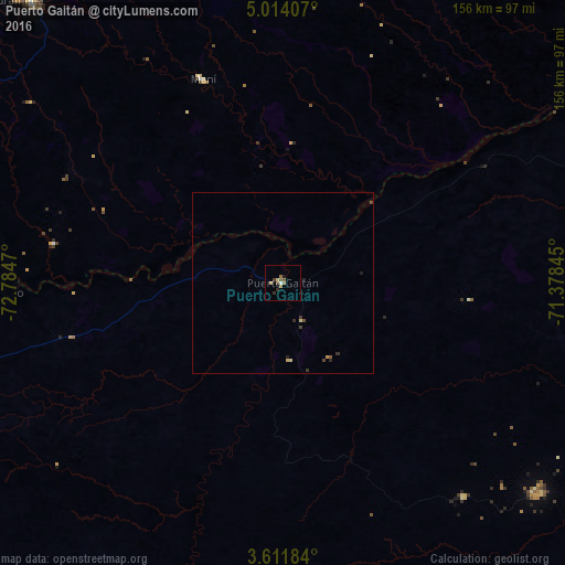
Analysis of Puerto Gaitán night lights 2016
Square area 10x10 km:
 0.43%
0.43%90-99
0.43%80-89
1.73%70-79
0%60-69
2.6%50-59
1.73%40-49
1.3%30-39
1.08%20-29
1.08%10-19
0.87%0-9
88.74%Square area 50x50 km:
0.02%90-99
0.02%80-89
0.15%70-79
0.05%60-69
0.1%50-59
0.1%40-49
0.15%30-39
0.2%20-29
0.14%10-19
0.08%0-9
98.98%Clear (daylight) street map image can be seen on geolist.org.
Map coordinates:
5° 0' 50.7" North, 72° 47' 4.9" West
4° 18' 47.8" North, 72° 4' 53.7" West
3° 36' 42.6" North, 71° 22' 42.4" West
Some cities around Puerto Gaitán sort by population:
• Yopal
119.1 km =74 mi,  343°
343°
• Villanueva
108.6 km =67.5 mi,  6°
6°
• Aguazul
108.6 km =67.5 mi,  331°
331°
• Cumaral
155.9 km =96.9 mi,  268°
268°
• Monterrey
109.9 km =68.3 mi,  304°
304°
• Restrepo
164.2 km =102 mi, 267°
• Maní
60.1 km =37.3 mi, 338°
• Aquitania
160.8 km =99.9 mi, 326°
3769976 (p: 5,928)
Sources (retrieved 2019-11-25):
» Earth at Night: Flat Maps 2012, 2016