Mitú night lights from space
Night Light of Mitú (Vaupés) from space (Colombia) Src. Average luminocity for 10x10km area is 3.6017% and for 50x50km: 0.144%.
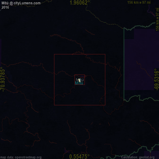
Analysis of Mitú night lights 2016
Square area 10x10 km:
 0%
0%90-99
0%80-89
2.6%70-79
0%60-69
0%50-59
0.43%40-49
0.43%30-39
1.08%20-29
0.65%10-19
0%0-9
94.81%Square area 50x50 km:
0%90-99
0%80-89
0.1%70-79
0%60-69
0%50-59
0.02%40-49
0.02%30-39
0.04%20-29
0.03%10-19
0%0-9
99.79%Clear (daylight) street map image can be seen on geolist.org.
Map coordinates:
1° 57' 38.2" North, 70° 56' 16.3" West
1° 15' 28" North, 70° 14' 5" West
0° 33' 17.1" North, 69° 31' 53.8" West
Some cities around Mitú sort by population:
• Cumaribo
357.7 km =222.3 mi,  7°
7°
• San José del Guaviare
305.2 km =189.6 mi,  298°
298°
• Puerto López
437.2 km =271.7 mi,  316°
316°
• São Gabriel da Cachoeira, BR
382.1 km =237.4 mi,  113°
113°
• Inírida
387.2 km =240.6 mi,  41°
41°
• Puerto Gaitán
396.8 km =246.6 mi,  328°
328°
• Puerto Lleras
403.1 km =250.5 mi, 299°
• Puerto Yuca
379.6 km =235.9 mi, 299°
3674676 (p: 5,917)
Sources (retrieved 2019-11-25):
» Earth at Night: Flat Maps 2012, 2016