El Charco night lights from space
Night Light of El Charco (Nariño) from space (Colombia) Src. Average luminocity for 10x10km area is 0% and for 50x50km: 0.2972%.
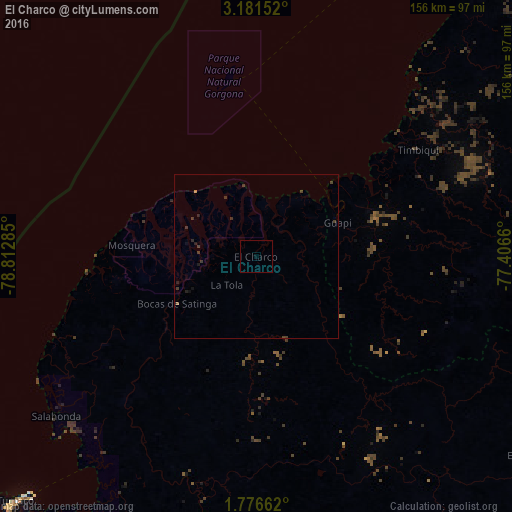
Analysis of El Charco night lights 2016
Square area 10x10 km:
 0%
0%90-99
0%80-89
0%70-79
0%60-69
0%50-59
0%40-49
0%30-39
0%20-29
0%10-19
0%0-9
100%Square area 50x50 km:
0%90-99
0%80-89
0%70-79
0.03%60-69
0.01%50-59
0.03%40-49
0.14%30-39
0.31%20-29
0.12%10-19
0.18%0-9
99.18%Clear (daylight) street map image can be seen on geolist.org.
Map coordinates:
3° 10' 53.5" North, 78° 48' 46.3" West
2° 28' 45.3" North, 78° 6' 35" West
1° 46' 35.8" North, 77° 24' 23.8" West
Some cities around El Charco sort by population:
• Tumaco
107.8 km =67 mi,  224°
224°
• Patía
126 km =78.3 mi,  111°
111°
• Guapí
26.9 km =16.7 mi,  67°
67°
• El Bordo
131.6 km =81.8 mi, 107°
• Barbacoas
89.9 km =55.9 mi,  182°
182°
• Balboa
110.5 km =68.7 mi,  116°
116°
• Timbiquí
59.1 km =36.7 mi,  56°
56°
• Salahonda
78.1 km =48.5 mi,  231°
231°
3684579 (p: 28,673)
Sources (retrieved 2019-11-25):
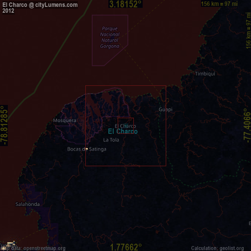
» Earth at Night: Flat Maps 2012, 2016