Patía night lights from space
Night Light of Patía (Cauca) from space (Colombia) Src. Average luminocity for 10x10km area is 0.0065% and for 50x50km: 0.2232%.
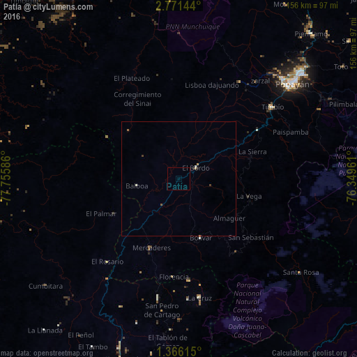
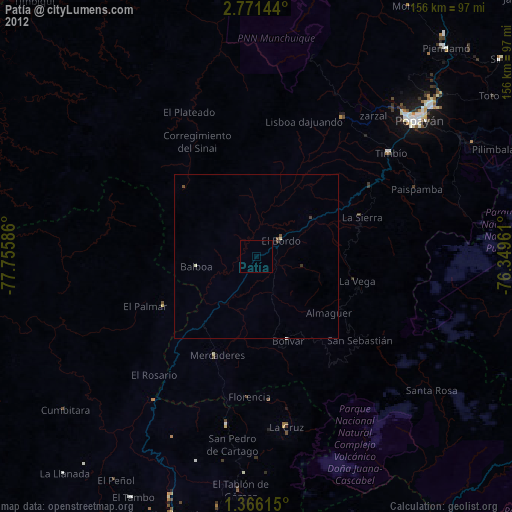
Analysis of Patía night lights 2016
Square area 10x10 km:
 0%
0%90-99
0%80-89
0%70-79
0%60-69
0%50-59
0%40-49
0%30-39
0%20-29
0%10-19
0%0-9
100%Square area 50x50 km:
0%90-99
0.07%80-89
0.03%70-79
0.03%60-69
0.03%50-59
0.03%40-49
0.05%30-39
0.02%20-29
0.07%10-19
0.03%0-9
99.62%Clear (daylight) street map image can be seen on geolist.org.
Map coordinates:
2° 46' 17.2" North, 77° 45' 21.1" West
2° 4' 8.2" North, 77° 3' 9.8" West
1° 21' 58.1" North, 76° 20' 58.6" West
Some cities around Patía sort by population:
• Popayán
63.8 km =39.6 mi,  49°
49°
• La Unión
52.4 km =32.6 mi,  189°
189°
• El Bordo
9.5 km =5.9 mi,  55°
55°
• Villa Rica
54.4 km =33.8 mi,  24°
24°
• La Cruz
52.7 km =32.7 mi,  170°
170°
• San Pablo
44.3 km =27.5 mi, 174°
• El Tambo
50.4 km =31.3 mi,  32°
32°
• Balboa
18.4 km =11.4 mi,  260°
260°
3672761 (p: 20,807)
Sources (retrieved 2019-11-25):
» Earth at Night: Flat Maps 2012, 2016