Salahonda night lights from space
Night Light of Salahonda (Nariño) from space (Colombia) Src. Average luminocity for 10x10km area is 3.5931% and for 50x50km: 0.7921%.
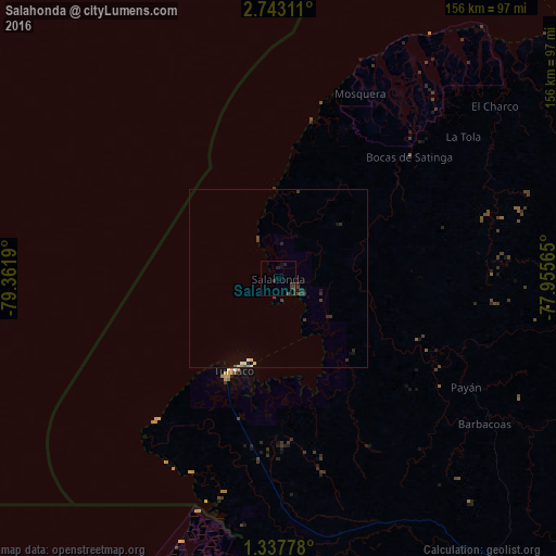
Analysis of Salahonda night lights 2016
Square area 10x10 km:
 0%
0%90-99
0%80-89
0%70-79
0%60-69
0%50-59
0%40-49
1.73%30-39
5.19%20-29
1.52%10-19
0.43%0-9
91.13%Square area 50x50 km:
0%90-99
0.12%80-89
0.09%70-79
0.03%60-69
0.01%50-59
0.03%40-49
0.18%30-39
0.55%20-29
0.29%10-19
0.33%0-9
98.36%Clear (daylight) street map image can be seen on geolist.org.
Map coordinates:
2° 44' 35.2" North, 79° 21' 42.8" West
2° 2' 26.2" North, 78° 39' 31.6" West
1° 20' 16" North, 77° 57' 20.3" West
Some cities around Salahonda sort by population:
• Tumaco
31.5 km =19.6 mi,  208°
208°
• El Charco
78.1 km =48.5 mi,  51°
51°
• San Lorenzo de Esmeraldas, EC
86.1 km =53.5 mi,  193°
193°
• Guapí
104.2 km =64.7 mi,  55°
55°
• Samaniego
141.6 km =88 mi,  123°
123°
• Valdez, EC
95.1 km =59.1 mi,  202°
202°
• Barbacoas
70.8 km =44 mi,  125°
125°
• Timbiquí
137.1 km =85.2 mi, 53°
3672087 (p: 6,105)
Sources (retrieved 2019-11-25):
» Earth at Night: Flat Maps 2012, 2016