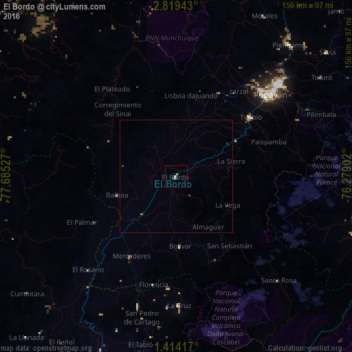
El Bordo night lights from space
Night Light of El Bordo (Cauca) from space (Colombia) Src. Average luminocity for 10x10km area is 2.8983% and for 50x50km: 0.192%.
Analysis of El Bordo night lights 2016
Square area 10x10 km:
 0%
0%90-99
0.87%80-89
0.87%70-79
0.87%60-69
0%50-59
0%40-49
0%30-39
0%20-29
1.73%10-19
0.87%0-9
94.81%Square area 50x50 km:
0%90-99
0.03%80-89
0.03%70-79
0.03%60-69
0%50-59
0.03%40-49
0.05%30-39
0.05%20-29
0.1%10-19
0.03%0-9
99.62%Clear (daylight) street map image can be seen on geolist.org.
Map coordinates:
2° 49' 9.9" North, 77° 41' 7" West
2° 7' 1.1" North, 76° 58' 55.7" West
1° 24' 51" North, 76° 16' 44.5" West
Some cities around El Bordo sort by population:
• Popayán
54.4 km =33.8 mi,  48°
48°
• Patía
9.5 km =5.9 mi,  235°
235°
• La Unión
59.3 km =36.8 mi,  196°
196°
• Villa Rica
46.6 km =29 mi,  18°
18°
• La Cruz
57.2 km =35.5 mi,  178°
178°
• San Pablo
49.5 km =30.8 mi, 184°
• El Tambo
41.9 km =26 mi,  27°
27°
• Balboa
27.3 km =17 mi,  252°
252°
3684860 (p: 12,072)
Sources (retrieved 2019-11-25):
» Earth at Night: Flat Maps 2012, 2016