Tumaco night lights from space
Night Light of Tumaco (Nariño) from space (Colombia) Src. Average luminocity for 10x10km area is 14.8009% and for 50x50km: 1.4697%.
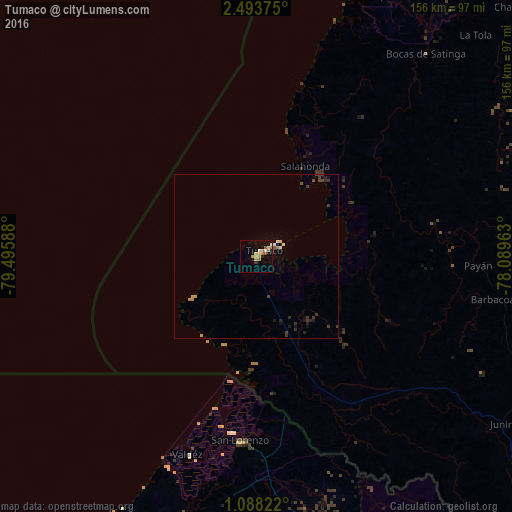
Analysis of Tumaco night lights 2016
Square area 10x10 km:
 0.43%
0.43%90-99
1.95%80-89
3.03%70-79
2.38%60-69
5.19%50-59
1.73%40-49
0%30-39
0.87%20-29
0.87%10-19
3.9%0-9
79.65%Square area 50x50 km:
0.02%90-99
0.18%80-89
0.19%70-79
0.25%60-69
0.26%50-59
0.1%40-49
0.19%30-39
0.54%20-29
0.28%10-19
0.55%0-9
97.44%Clear (daylight) street map image can be seen on geolist.org.
Map coordinates:
2° 29' 37.5" North, 79° 29' 45.2" West
1° 47' 28" North, 78° 47' 33.9" West
1° 5' 17.6" North, 78° 5' 22.7" West
Some cities around Tumaco sort by population:
• Esmeraldas, EC
133.1 km =82.7 mi,  225°
225°
• El Charco
107.8 km =67 mi,  44°
44°
• San Lorenzo de Esmeraldas, EC
56.3 km =35 mi,  184°
184°
• Guapí
133 km =82.6 mi,  49°
49°
• Samaniego
142.2 km =88.4 mi,  110°
110°
• Valdez, EC
63.9 km =39.7 mi,  199°
199°
• Barbacoas
73.8 km =45.9 mi,  100°
100°
• Salahonda
31.5 km =19.6 mi,  28°
28°
3666640 (p: 86,713)
Sources (retrieved 2019-11-25):
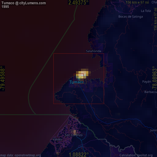
» NASA, Earths city lights 1995
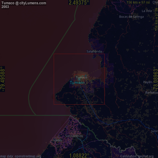
» NASA city lights 2003
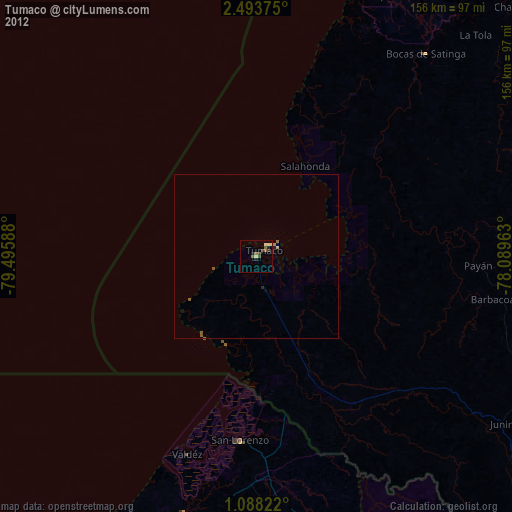
» Earth at Night: Flat Maps 2012, 2016