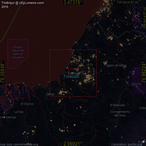
Timbiquí night lights from space
Night Light of Timbiquí (Cauca) from space (Colombia) Src. Average luminocity for 10x10km area is 3.4805% and for 50x50km: 3.8583%.
Analysis of Timbiquí night lights 2016
Square area 10x10 km:
 0%
0%90-99
0%80-89
0%70-79
0%60-69
0%50-59
0%40-49
2.6%30-39
3.9%20-29
1.52%10-19
0.43%0-9
91.56%Square area 50x50 km:
0%90-99
0%80-89
0%70-79
0%60-69
0.12%50-59
0.65%40-49
2.36%30-39
2.92%20-29
1.63%10-19
1.36%0-9
90.97%Clear (daylight) street map image can be seen on geolist.org.
Map coordinates:
3° 28' 25.6" North, 78° 22' 6.6" West
2° 46' 18.1" North, 77° 39' 55.3" West
2° 4' 9.2" North, 76° 57' 44.1" West
Some cities around Timbiquí sort by population:
• El Charco
59.1 km =36.7 mi,  236°
236°
• Patía
103.6 km =64.4 mi,  138°
138°
• Guapí
33.1 km =20.6 mi,  227°
227°
• El Bordo
105.2 km =65.4 mi,  133°
133°
• Suárez
109.5 km =68 mi,  79°
79°
• Villa Rica
95 km =59 mi,  107°
107°
• El Tambo
101.4 km =63 mi, 110°
• Balboa
95.3 km =59.2 mi,  148°
148°
3667070 (p: 6,267)
Sources (retrieved 2019-11-25):
» Earth at Night: Flat Maps 2012, 2016