Balboa night lights from space
Night Light of Balboa (Cauca) from space (Colombia) Src. Average luminocity for 10x10km area is 0.8052% and for 50x50km: 0.1439%.
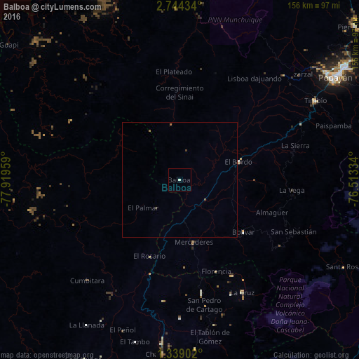
Analysis of Balboa night lights 2016
Square area 10x10 km:
 0%
0%90-99
0.87%80-89
0%70-79
0%60-69
0%50-59
0%40-49
0%30-39
0%20-29
0%10-19
0%0-9
99.13%Square area 50x50 km:
0%90-99
0.03%80-89
0%70-79
0%60-69
0.07%50-59
0.03%40-49
0.03%30-39
0.04%20-29
0.02%10-19
0%0-9
99.78%Clear (daylight) street map image can be seen on geolist.org.
Map coordinates:
2° 44' 39.6" North, 77° 55' 10.5" West
2° 2' 30.6" North, 77° 12' 59.3" West
1° 20' 20.5" North, 76° 30' 48" West
Some cities around Balboa sort by population:
• Patía
18.4 km =11.4 mi,  80°
80°
• La Unión
49.5 km =30.8 mi,  169°
169°
• El Bordo
27.3 km =17 mi,  72°
72°
• Villa Rica
66.5 km =41.3 mi,  37°
37°
• La Cruz
56 km =34.8 mi,  150°
150°
• El Tambo
73.1 km =45.4 mi,  195°
195°
• San Pablo
46.8 km =29.1 mi, 151°
• El Tambo
64.2 km =39.9 mi, 44°
3689292 (p: 6,272)
Sources (retrieved 2019-11-25):
» Earth at Night: Flat Maps 2012, 2016