Barranquilla night lights from space
Night Light of Barranquilla (Atlántico) from space (Colombia) Src. Average luminocity for 10x10km area is 90.2965% and for 50x50km: 18.9243%.
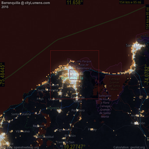
Analysis of Barranquilla night lights 2016
Square area 10x10 km:
 58.23%
90-99
18.83%80-89
2.16%70-79
5.84%60-69
3.25%50-59
4.76%40-49
5.19%30-39
1.73%20-29
0%10-19
0%0-9
0%Square area 50x50 km:
4.66%90-99
2.57%80-89
0.99%70-79
3.12%60-69
2.81%50-59
1.98%40-49
2.82%30-39
3.53%20-29
4.41%10-19
9.8%0-9
63.3%Clear (daylight) street map image can be seen on geolist.org.
Map coordinates:
11° 39' 28.8" North, 75° 29' 4" West
10° 58' 6.7" North, 74° 46' 52.8" West
10° 16' 38.9" North, 74° 4' 41.5" West
Some cities around Barranquilla sort by population:
• Soledad
5.9 km =3.7 mi,  161°
161°
• Malambo
12.1 km =7.5 mi,  176°
176°
• Puerto Colombia
19 km =11.8 mi,  276°
276°
• Santo Tomás
23.6 km =14.7 mi,  172°
172°
• Sabanagrande
19.9 km =12.4 mi, 173°
• Galapa
13.9 km =8.6 mi,  235°
235°
• Sitionuevo
22.3 km =13.9 mi, 162°
• Polonuevo
22.7 km =14.1 mi,  200°
200°
3689147 (p: 1,380,425)
Sources (retrieved 2019-11-25):
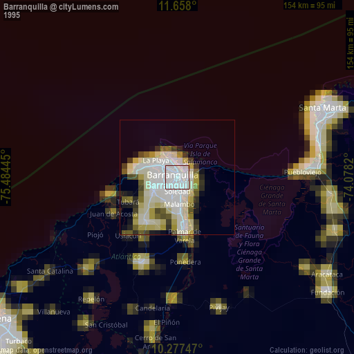
» NASA, Earths city lights 1995
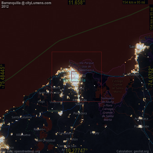
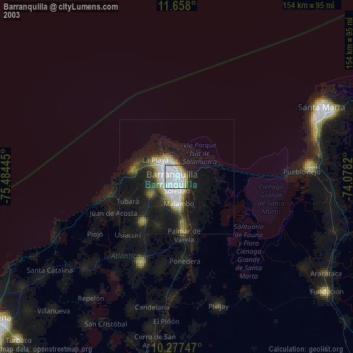
» NASA city lights 2003
» Earth at Night: Flat Maps 2012, 2016