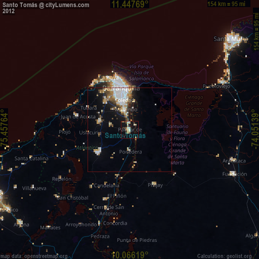
Santo Tomás night lights from space
Night Light of Santo Tomás (Atlántico) from space (Colombia) Src. Average luminocity for 10x10km area is 24.0723% and for 50x50km: 13.9732%.
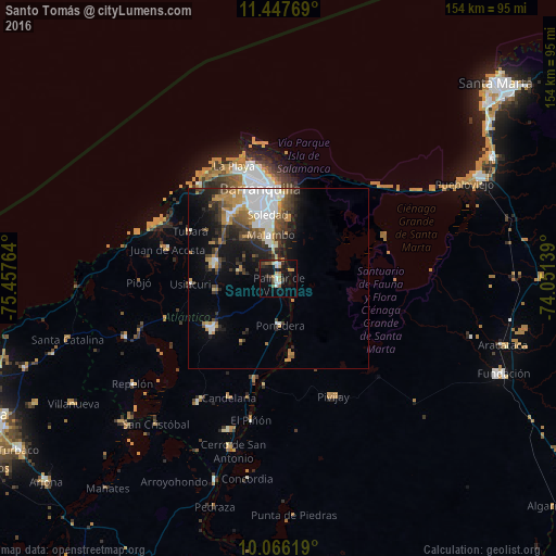
Analysis of Santo Tomás night lights 2016
Square area 10x10 km:
 4.13%
4.13%90-99
2.48%80-89
2.89%70-79
2.07%60-69
4.55%50-59
2.48%40-49
2.07%30-39
4.75%20-29
3.31%10-19
25.62%0-9
45.66%Square area 50x50 km:
3.5%90-99
1.89%80-89
0.77%70-79
2.02%60-69
1.89%50-59
1.37%40-49
2.15%30-39
2.63%20-29
3.21%10-19
7.08%0-9
73.5%Clear (daylight) street map image can be seen on geolist.org.
Map coordinates:
11° 26' 51.7" North, 75° 27' 27.5" West
10° 45' 27.8" North, 74° 45' 16.2" West
10° 3' 58.3" North, 74° 3' 5" West
Some cities around Santo Tomás sort by population:
• Soledad
17.9 km =11.1 mi,  356°
356°
• Malambo
11.5 km =7.1 mi,  349°
349°
• Palmar de Varela
1.9 km =1.2 mi,  179°
179°
• Sabanagrande
3.8 km =2.4 mi, 349°
• Sitionuevo
4.3 km =2.7 mi,  59°
59°
• Polonuevo
11 km =6.8 mi,  281°
281°
• Ponedera
12.8 km =8 mi, 179°
• Remolino
7.5 km =4.7 mi,  145°
145°
3668332 (p: 25,847)
Sources (retrieved 2019-11-25):
» Earth at Night: Flat Maps 2012, 2016