Yueyang night lights from space
Night Light of Yueyang (Hunan) from space (China) Src. Average luminocity for 10x10km area is 48.3049% and for 50x50km: 8.4046%.
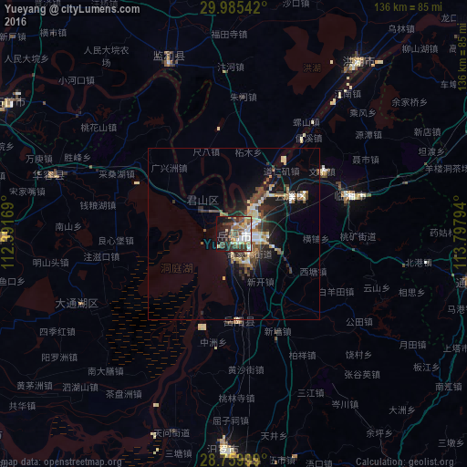
Analysis of Yueyang night lights 2016
Square area 10x10 km:
 8.14%
8.14%90-99
8.9%80-89
5.68%70-79
5.49%60-69
6.06%50-59
7.39%40-49
12.69%30-39
11.93%20-29
8.71%10-19
16.67%0-9
8.33%Square area 50x50 km:
0.95%90-99
1.19%80-89
1.25%70-79
0.8%60-69
0.92%50-59
1.05%40-49
2.06%30-39
1.39%20-29
2.17%10-19
6.2%0-9
82.03%Clear (daylight) street map image can be seen on geolist.org.
Map coordinates:
29° 59' 7.5" North, 112° 23' 30.1" East
29° 22' 28.4" North, 113° 5' 41.3" East
28° 45' 36" North, 113° 47' 52.6" East
Some cities around Yueyang sort by population:
• Xindi
60.9 km =37.8 mi,  36°
36°
• Puqi
85.2 km =52.9 mi,  63°
63°
• Xiulin
77.2 km =48 mi,  299°
299°
• Fengkou
82 km =51 mi,  16°
16°
• Qionghu
91.8 km =57 mi,  229°
229°
• Anxiang
91.6 km =56.9 mi,  271°
271°
• Wenxing
79.8 km =49.6 mi,  195°
195°
• Nanzhou
67.1 km =41.7 mi, 268°
1927639 (p: 1,200,000)
Sources (retrieved 2019-11-25):
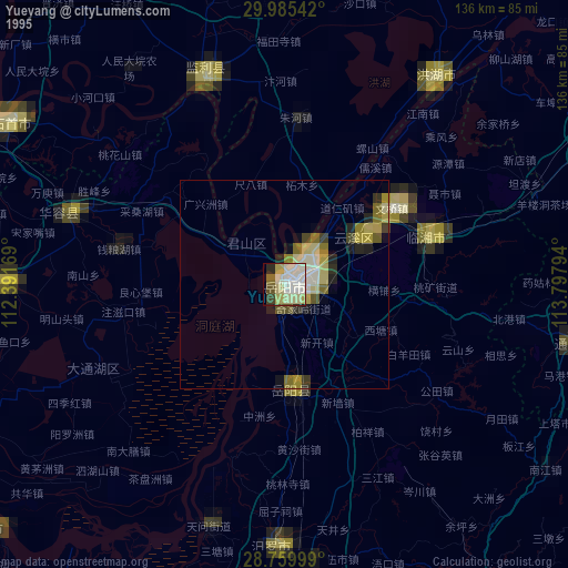
» NASA, Earths city lights 1995
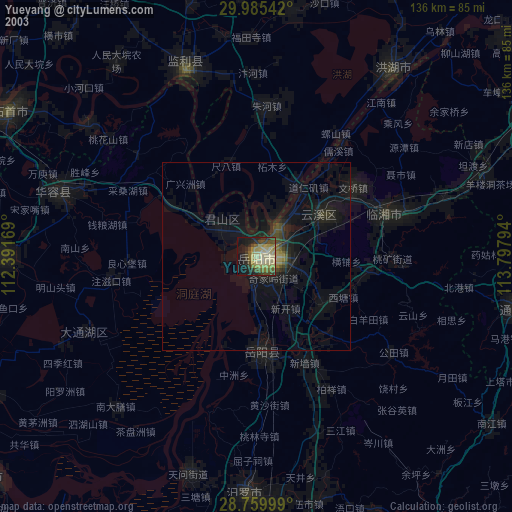
» NASA city lights 2003
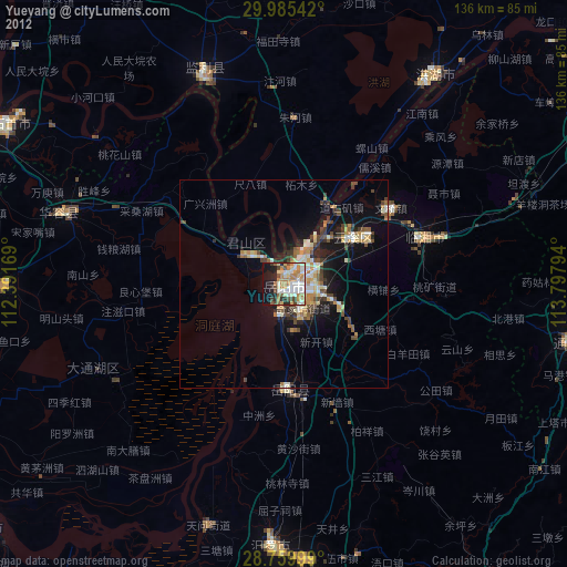
» Earth at Night: Flat Maps 2012, 2016