Anxiang night lights from space
Night Light of Anxiang (Hunan) from space (China) Src. Average luminocity for 10x10km area is 12.8939% and for 50x50km: 0.9937%.
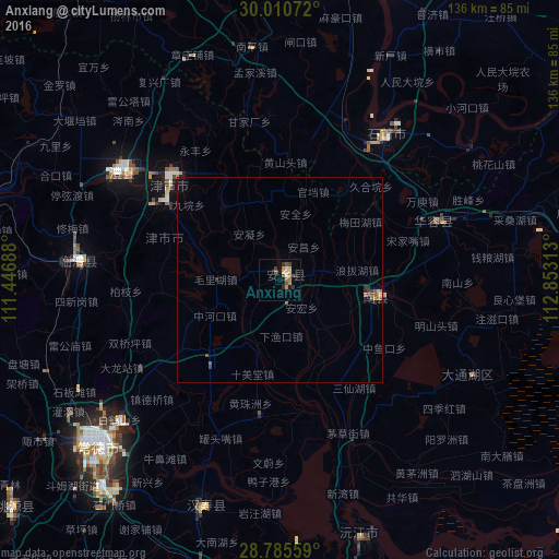
Analysis of Anxiang night lights 2016
Square area 10x10 km:
 0.95%
0.95%90-99
0.57%80-89
3.03%70-79
2.27%60-69
2.27%50-59
1.52%40-49
2.65%30-39
2.27%20-29
1.7%10-19
1.7%0-9
81.06%Square area 50x50 km:
0.04%90-99
0.02%80-89
0.16%70-79
0.13%60-69
0.19%50-59
0.22%40-49
0.21%30-39
0.25%20-29
0.16%10-19
0.13%0-9
98.5%Clear (daylight) street map image can be seen on geolist.org.
Map coordinates:
30° 0' 38.6" North, 111° 26' 48.8" East
29° 24' 0" North, 112° 9' 0" East
28° 47' 8.1" North, 112° 51' 11.3" East
Some cities around Anxiang sort by population:
• Yueyang
91.6 km =56.9 mi,  91°
91°
• Changde
60.3 km =37.5 mi,  229°
229°
• Yiyang
91.8 km =57 mi,  169°
169°
• Xiulin
42.7 km =26.5 mi,  34°
34°
• Buhe
99 km =61.5 mi,  4°
4°
• Jinshi
35.4 km =22 mi,  310°
310°
• Qionghu
65.9 km =40.9 mi,  160°
160°
• Nanzhou
24.9 km =15.5 mi,  100°
100°
1817952 (p: 57,769)
Sources (retrieved 2019-11-25):
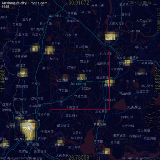
» NASA, Earths city lights 1995
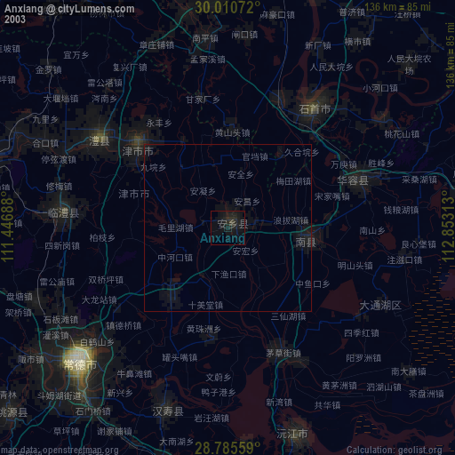
» NASA city lights 2003
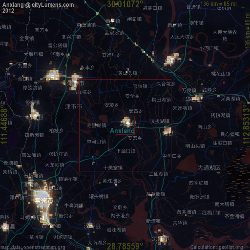
» Earth at Night: Flat Maps 2012, 2016