Xiulin night lights from space
Night Light of Xiulin (Hubei) from space (China) Src. Average luminocity for 10x10km area is 17.1171% and for 50x50km: 1.1131%.
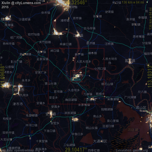
Analysis of Xiulin night lights 2016
Square area 10x10 km:
 0.99%
0.99%90-99
1.79%80-89
2.98%70-79
2.98%60-69
2.18%50-59
2.18%40-49
4.76%30-39
1.79%20-29
2.18%10-19
2.78%0-9
75.4%Square area 50x50 km:
0.04%90-99
0.08%80-89
0.24%70-79
0.12%60-69
0.11%50-59
0.18%40-49
0.34%30-39
0.15%20-29
0.29%10-19
0.13%0-9
98.32%Clear (daylight) street map image can be seen on geolist.org.
Map coordinates:
30° 19' 31.7" North, 111° 41' 48.8" East
29° 43' 0" North, 112° 24' 0" East
29° 6' 15" North, 113° 6' 11.3" East
Some cities around Xiulin sort by population:
• Yueyang
77.2 km =48 mi,  119°
119°
• Shashi
67.3 km =41.8 mi,  347°
347°
• Qianjiang
91.5 km =56.9 mi,  31°
31°
• Jingzhou
73.3 km =45.5 mi,  344°
344°
• Buhe
65.6 km =40.8 mi, 345°
• Jinshi
52.7 km =32.7 mi,  256°
256°
• Anxiang
42.7 km =26.5 mi,  214°
214°
• Nanzhou
39.7 km =24.7 mi,  179°
179°
1788268 (p: 122,411)
Sources (retrieved 2019-11-25):
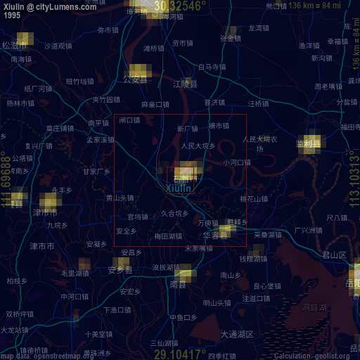
» NASA, Earths city lights 1995
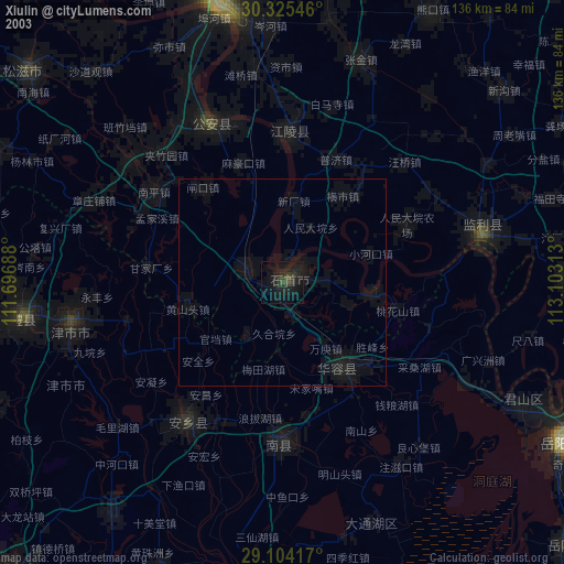
» NASA city lights 2003
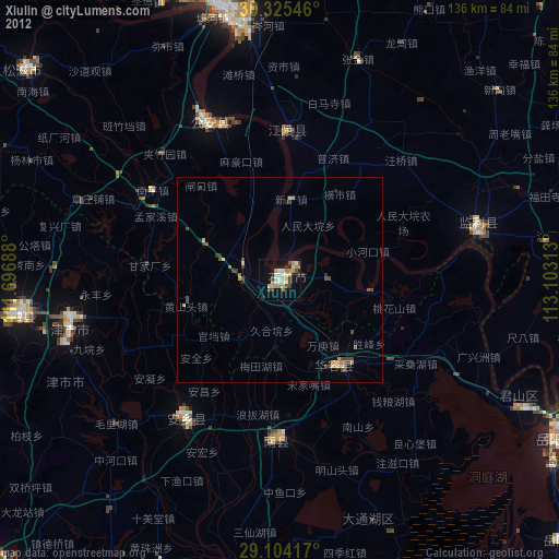
» Earth at Night: Flat Maps 2012, 2016