Nanzhou night lights from space
Night Light of Nanzhou (Hunan) from space (China) Src. Average luminocity for 10x10km area is 8.9924% and for 50x50km: 1.1012%.
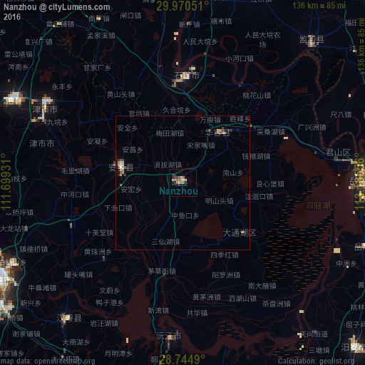
Analysis of Nanzhou night lights 2016
Square area 10x10 km:
 0%
0%90-99
0%80-89
0.95%70-79
1.33%60-69
1.89%50-59
3.98%40-49
1.89%30-39
3.03%20-29
2.08%10-19
0%0-9
84.85%Square area 50x50 km:
0.04%90-99
0.02%80-89
0.18%70-79
0.18%60-69
0.19%50-59
0.31%40-49
0.26%30-39
0.23%20-29
0.25%10-19
0.07%0-9
98.27%Clear (daylight) street map image can be seen on geolist.org.
Map coordinates:
29° 58' 13.8" North, 111° 41' 57.5" East
29° 21' 34.4" North, 112° 24' 8.7" East
28° 44' 41.6" North, 113° 6' 20" East
Some cities around Nanzhou sort by population:
• Yueyang
67.1 km =41.7 mi,  88°
88°
• Changde
78.4 km =48.7 mi,  243°
243°
• Yiyang
86 km =53.4 mi,  184°
184°
• Xiulin
39.7 km =24.7 mi,  359°
359°
• Jinshi
58.3 km =36.2 mi,  297°
297°
• Qionghu
57.8 km =35.9 mi, 182°
• Anxiang
24.9 km =15.5 mi,  280°
280°
• Wenxing
88.4 km =54.9 mi,  148°
148°
1799552 (p: 54,449)
Sources (retrieved 2019-11-25):
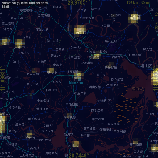
» NASA, Earths city lights 1995
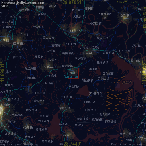
» NASA city lights 2003
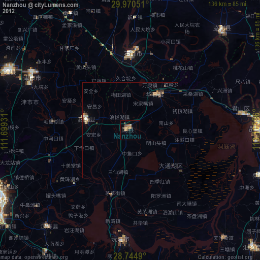
» Earth at Night: Flat Maps 2012, 2016