Xindi night lights from space
Night Light of Xindi (Hubei) from space (China) Src. Average luminocity for 10x10km area is 20.6548% and for 50x50km: 1.4113%.
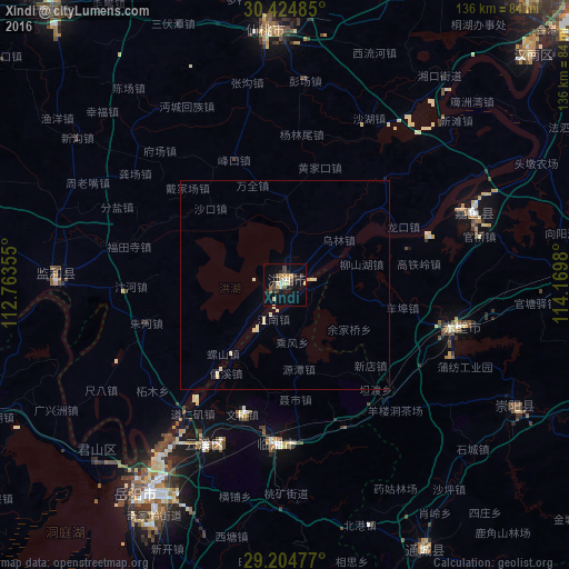
Analysis of Xindi night lights 2016
Square area 10x10 km:
 0.6%
0.6%90-99
2.58%80-89
4.96%70-79
3.37%60-69
0.4%50-59
2.58%40-49
4.17%30-39
3.57%20-29
5.16%10-19
10.52%0-9
62.1%Square area 50x50 km:
0.02%90-99
0.21%80-89
0.54%70-79
0.17%60-69
0.02%50-59
0.1%40-49
0.16%30-39
0.14%20-29
0.2%10-19
0.4%0-9
98.06%Clear (daylight) street map image can be seen on geolist.org.
Map coordinates:
30° 25' 29.5" North, 112° 45' 48.8" East
29° 49' 0" North, 113° 28' 0" East
29° 12' 17.2" North, 114° 10' 11.3" East
Some cities around Xindi sort by population:
• Yueyang
60.9 km =37.8 mi,  216°
216°
• Xiantao
61.7 km =38.3 mi,  357°
357°
• Jingling
99.1 km =61.6 mi,  339°
339°
• Xianning
82.6 km =51.3 mi,  87°
87°
• Qianjiang
87 km =54.1 mi,  320°
320°
• Puqi
41.7 km =25.9 mi,  105°
105°
• Hanchuan
97 km =60.3 mi,  17°
17°
• Fengkou
32.2 km =20 mi, 336°
1789137 (p: 175,761)
Sources (retrieved 2019-11-25):
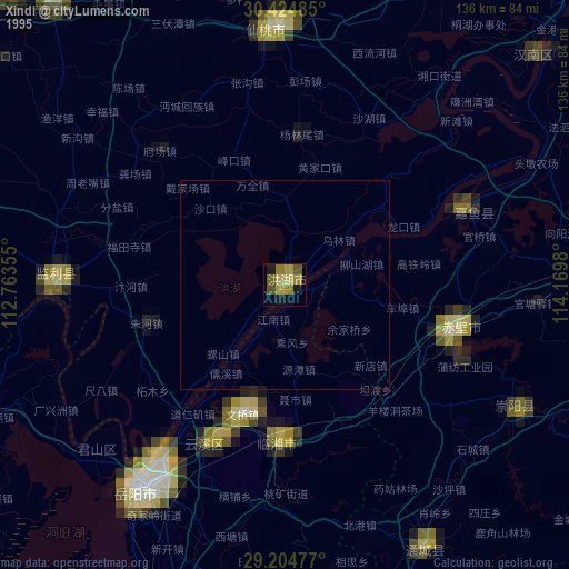
» NASA, Earths city lights 1995
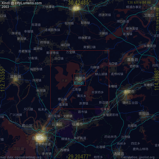
» NASA city lights 2003
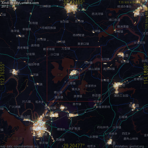
» Earth at Night: Flat Maps 2012, 2016