Puqi night lights from space
Night Light of Puqi (Hubei) from space (China) Src. Average luminocity for 10x10km area is 21.0675% and for 50x50km: 1.7334%.
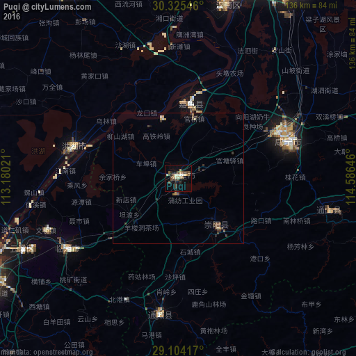
Analysis of Puqi night lights 2016
Square area 10x10 km:
 0.79%
0.79%90-99
3.57%80-89
3.37%70-79
1.98%60-69
0.6%50-59
3.97%40-49
8.73%30-39
1.59%20-29
2.78%10-19
9.52%0-9
63.1%Square area 50x50 km:
0.06%90-99
0.17%80-89
0.26%70-79
0.2%60-69
0.09%50-59
0.38%40-49
0.5%30-39
0.41%20-29
0.32%10-19
0.54%0-9
97.1%Clear (daylight) street map image can be seen on geolist.org.
Map coordinates:
30° 19' 31.7" North, 113° 10' 48.8" East
29° 43' 0" North, 113° 52' 60" East
29° 6' 15" North, 114° 35' 11.3" East
Some cities around Puqi sort by population:
• Wuhan
103.2 km =64.1 mi,  20°
20°
• Yueyang
85.2 km =52.9 mi,  243°
243°
• Xiantao
84.2 km =52.3 mi,  329°
329°
• Xianning
44.6 km =27.7 mi,  71°
71°
• Xindi
41.7 km =25.9 mi,  285°
285°
• Hanchuan
104.4 km =64.9 mi,  353°
353°
• Caidian
97.4 km =60.5 mi,  8°
8°
• Fengkou
66.8 km =41.5 mi,  307°
307°
1798473 (p: 132,891)
Sources (retrieved 2019-11-25):
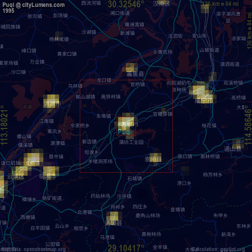
» NASA, Earths city lights 1995
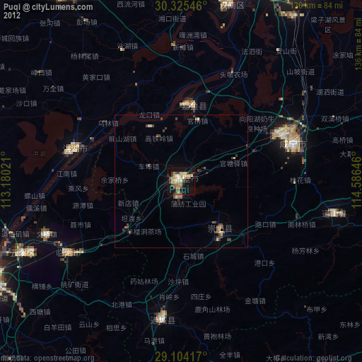
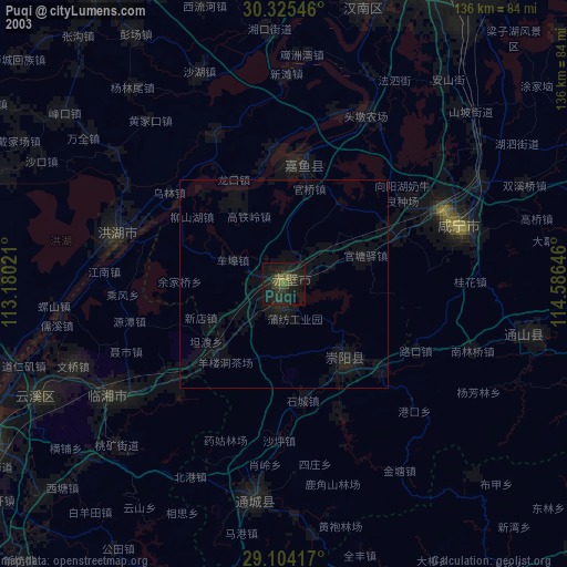
» NASA city lights 2003
» Earth at Night: Flat Maps 2012, 2016