Wenxing night lights from space
Night Light of Wenxing (Hunan) from space (China) Src. Average luminocity for 10x10km area is 20.9091% and for 50x50km: 2.8182%.
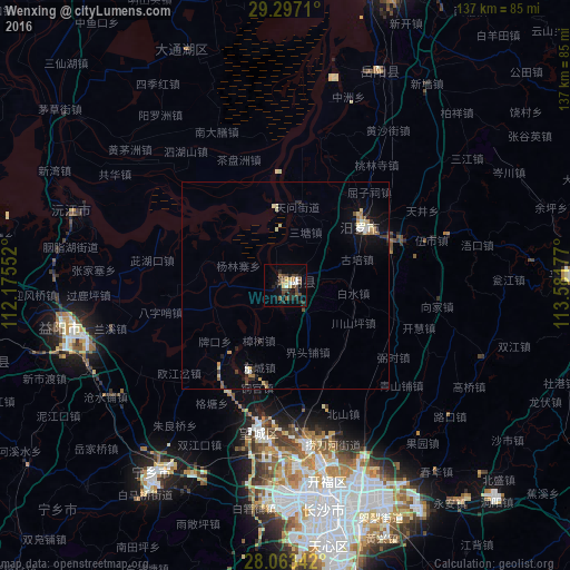
Analysis of Wenxing night lights 2016
Square area 10x10 km:
 1.14%
1.14%90-99
2.65%80-89
2.65%70-79
2.46%60-69
0.95%50-59
3.6%40-49
8.14%30-39
3.79%20-29
7.77%10-19
8.9%0-9
57.95%Square area 50x50 km:
0.17%90-99
0.34%80-89
0.55%70-79
0.31%60-69
0.31%50-59
0.31%40-49
0.43%30-39
0.44%20-29
0.75%10-19
1.37%0-9
95.03%Clear (daylight) street map image can be seen on geolist.org.
Map coordinates:
29° 17' 49.6" North, 112° 10' 31.9" East
28° 40' 55.5" North, 112° 52' 43.1" East
28° 3' 48.3" North, 113° 34' 54.4" East
Some cities around Wenxing sort by population:
• Changsha
54.5 km =33.9 mi,  170°
170°
• Guankou
93.5 km =58.1 mi,  128°
128°
• Yueyang
79.8 km =49.6 mi,  15°
15°
• Xiangtan
92.5 km =57.5 mi,  178°
178°
• Yiyang
54.7 km =34 mi,  259°
259°
• Qionghu
52.3 km =32.5 mi,  289°
289°
• Yutan
56.5 km =35.1 mi,  213°
213°
• Nanzhou
88.4 km =54.9 mi,  328°
328°
1790451 (p: 57,117)
Sources (retrieved 2019-11-25):
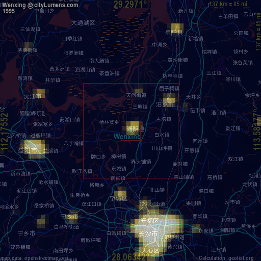
» NASA, Earths city lights 1995
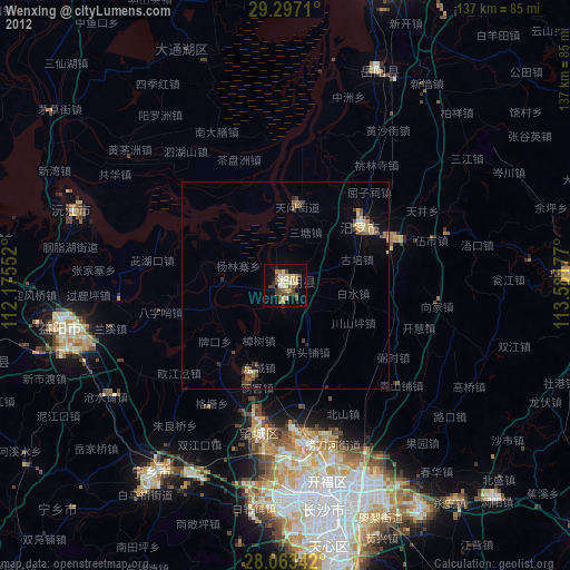
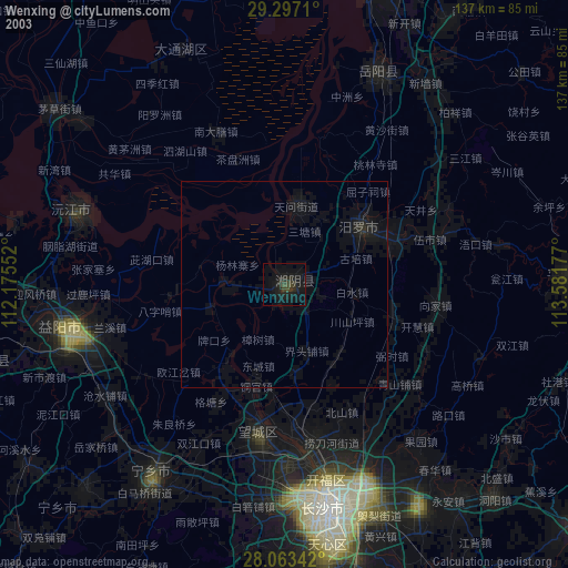
» NASA city lights 2003
» Earth at Night: Flat Maps 2012, 2016