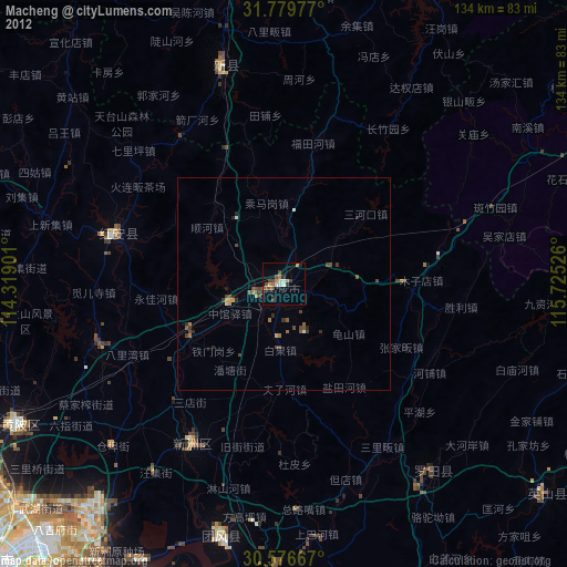
Macheng night lights from space
Night Light of Macheng (Hubei) from space (China) Src. Average luminocity for 10x10km area is 21.8919% and for 50x50km: 1.4183%.
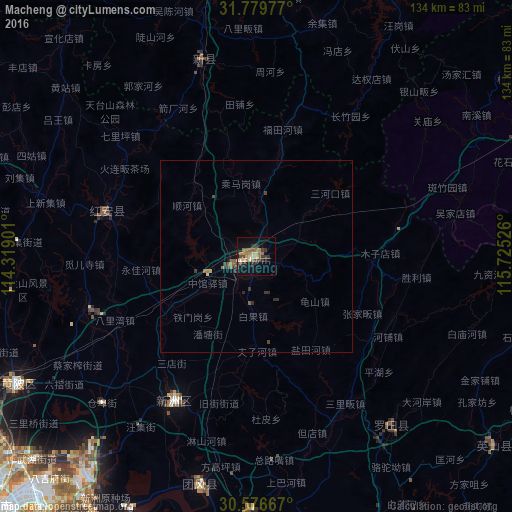
Analysis of Macheng night lights 2016
Square area 10x10 km:
 0.55%
0.55%90-99
1.47%80-89
3.3%70-79
4.76%60-69
3.66%50-59
4.58%40-49
3.11%30-39
7.51%20-29
2.56%10-19
15.93%0-9
52.56%Square area 50x50 km:
0.02%90-99
0.07%80-89
0.17%70-79
0.19%60-69
0.2%50-59
0.42%40-49
0.24%30-39
0.48%20-29
0.28%10-19
0.76%0-9
97.17%Clear (daylight) street map image can be seen on geolist.org.
Map coordinates:
31° 46' 47.2" North, 114° 19' 8.4" East
31° 10' 48.5" North, 115° 1' 19.7" East
30° 34' 36" North, 115° 43' 30.9" East
Some cities around Macheng sort by population:
• Wuhan
98 km =60.9 mi,  227°
227°
• Huangshi
103.8 km =64.5 mi,  178°
178°
• Ezhou
88.6 km =55.1 mi,  191°
191°
• Huangzhou
83.9 km =52.1 mi, 194°
• Xinzhou
40.8 km =25.4 mi,  211°
211°
• Qingquan
84.1 km =52.3 mi,  164°
164°
• Dingcheng
105.3 km =65.4 mi,  0°
0°
• Huangpi
69.6 km =43.2 mi,  241°
241°
1801582 (p: 126,366)
Sources (retrieved 2019-11-25):
» NASA, Earths city lights 1995
» NASA city lights 2003
» Earth at Night: Flat Maps 2012, 2016