Ezhou night lights from space
Night Light of Ezhou (Hubei) from space (China) Src. Average luminocity for 10x10km area is 46.315% and for 50x50km: 15.1077%.
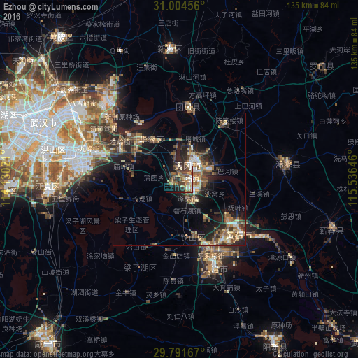
Analysis of Ezhou night lights 2016
Square area 10x10 km:
 5.68%
5.68%90-99
8.61%80-89
7.51%70-79
4.4%60-69
8.97%50-59
7.88%40-49
8.06%30-39
11.36%20-29
11.36%10-19
12.09%0-9
14.1%Square area 50x50 km:
1.11%90-99
1.85%80-89
1.95%70-79
1.74%60-69
2.32%50-59
3.05%40-49
3.13%30-39
2.88%20-29
5.33%10-19
10.18%0-9
66.47%Clear (daylight) street map image can be seen on geolist.org.
Map coordinates:
31° 0' 16.4" North, 114° 7' 48.8" East
30° 24' 0" North, 114° 49' 60" East
29° 47' 30" North, 115° 32' 11.3" East
Some cities around Ezhou sort by population:
• Wuhan
58 km =36 mi,  290°
290°
• Huangshi
26.7 km =16.6 mi,  129°
129°
• Huangzhou
6.4 km =4 mi,  330°
330°
• Xinzhou
52 km =32.3 mi,  356°
356°
• Qingquan
40.9 km =25.4 mi,  82°
82°
• Caohe
60.6 km =37.7 mi,  108°
108°
• Daye
37 km =23 mi,  162°
162°
• Huangpi
69.3 km =43.1 mi,  321°
321°
1811619 (p: 193,652)
Sources (retrieved 2019-11-25):
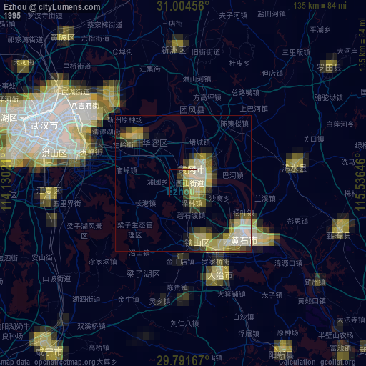
» NASA, Earths city lights 1995
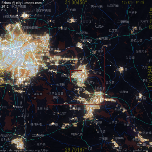
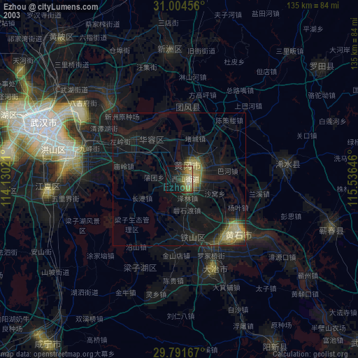
» NASA city lights 2003
» Earth at Night: Flat Maps 2012, 2016