Dingcheng night lights from space
Night Light of Dingcheng (Henan) from space (China) Src. Average luminocity for 10x10km area is 11.5979% and for 50x50km: 1.0451%.
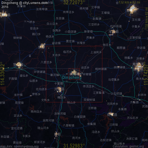
Analysis of Dingcheng night lights 2016
Square area 10x10 km:
 0%
0%90-99
0%80-89
0%70-79
2.45%60-69
2.27%50-59
3.67%40-49
2.97%30-39
4.9%20-29
3.85%10-19
1.4%0-9
78.5%Square area 50x50 km:
0%90-99
0.04%80-89
0.01%70-79
0.15%60-69
0.17%50-59
0.31%40-49
0.28%30-39
0.44%20-29
0.41%10-19
0.06%0-9
98.13%Clear (daylight) street map image can be seen on geolist.org.
Map coordinates:
32° 43' 14.6" North, 114° 20' 10.8" East
32° 7' 38" North, 115° 2' 22" East
31° 31' 47.4" North, 115° 44' 33.3" East
Some cities around Dingcheng sort by population:
• Xinyang
91.7 km =57 mi,  269°
269°
• Fuyang
112.7 km =70 mi,  40°
40°
• Guangshui
113.4 km =70.5 mi,  240°
240°
• Macheng
105.3 km =65.4 mi,  180°
180°
• Wuyang
114.8 km =71.3 mi,  97°
97°
• Minggang
100.2 km =62.3 mi,  291°
291°
• Huoqiu Chengguanzhen
120.7 km =75 mi,  77°
77°
• Runing
116.5 km =72.4 mi,  326°
326°
1807553 (p: 72,663)
Sources (retrieved 2019-11-25):
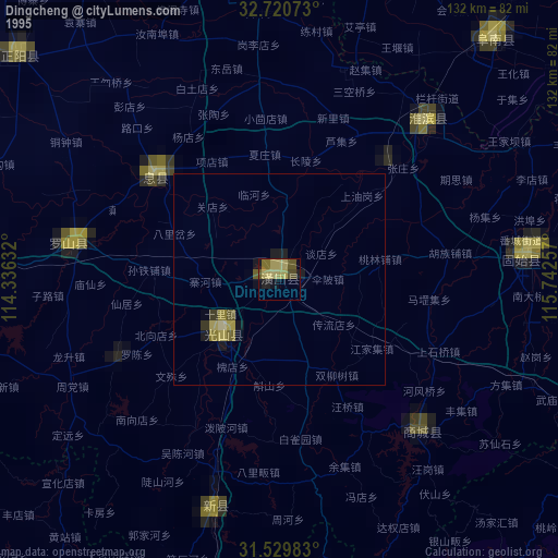
» NASA, Earths city lights 1995
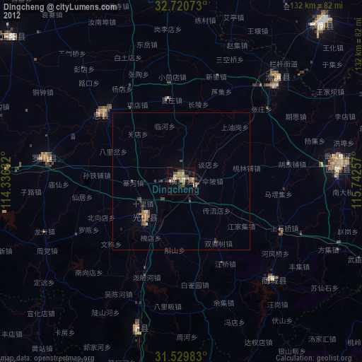
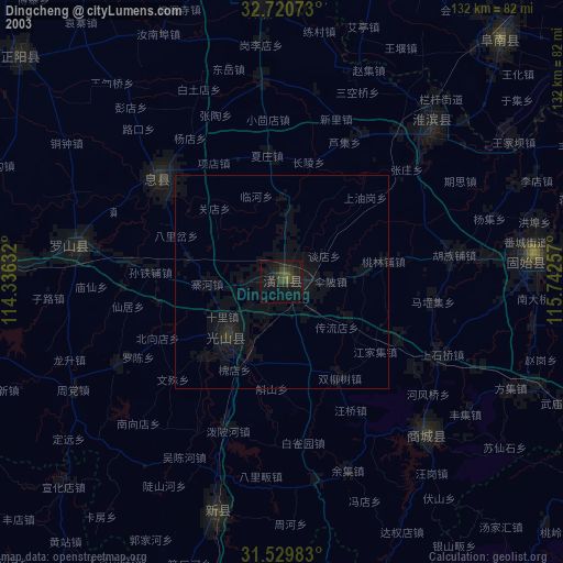
» NASA city lights 2003
» Earth at Night: Flat Maps 2012, 2016