Huangzhou night lights from space
Night Light of Huangzhou (Hubei) from space (China) Src. Average luminocity for 10x10km area is 18.6007% and for 50x50km: 15.0348%.
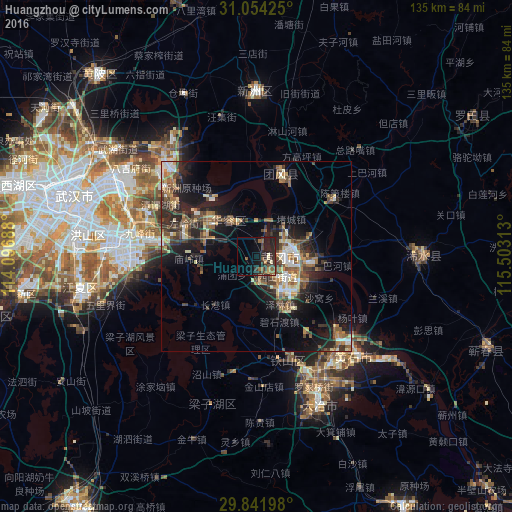
Analysis of Huangzhou night lights 2016
Square area 10x10 km:
 0%
0%90-99
0.92%80-89
1.83%70-79
0.92%60-69
2.93%50-59
4.95%40-49
3.48%30-39
6.78%20-29
11.9%10-19
17.22%0-9
49.08%Square area 50x50 km:
1.31%90-99
1.98%80-89
1.6%70-79
1.62%60-69
2.26%50-59
2.96%40-49
3.16%30-39
2.99%20-29
5.38%10-19
9.84%0-9
66.9%Clear (daylight) street map image can be seen on geolist.org.
Map coordinates:
31° 3' 15.3" North, 114° 5' 48.8" East
30° 27' 0" North, 114° 48' 0" East
29° 50' 31.1" North, 115° 30' 11.3" East
Some cities around Huangzhou sort by population:
• Wuhan
53.2 km =33.1 mi,  286°
286°
• Ezhou
6.4 km =4 mi,  150°
150°
• Xianning
81.6 km =50.7 mi,  214°
214°
• Xinzhou
46.3 km =28.8 mi,  0°
0°
• Qingquan
43.7 km =27.2 mi,  89°
89°
• Caidian
74.9 km =46.5 mi,  281°
281°
• Caohe
65.5 km =40.7 mi,  111°
111°
• Daye
43.2 km =26.8 mi,  160°
160°
1807112 (p: 122,563)
Sources (retrieved 2019-11-25):
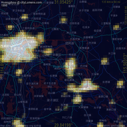
» NASA, Earths city lights 1995
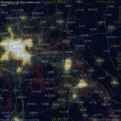
» NASA city lights 2003
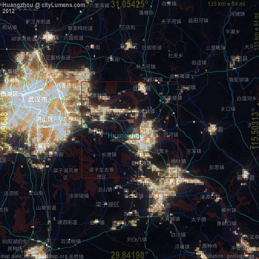
» Earth at Night: Flat Maps 2012, 2016