Xinzhou night lights from space
Night Light of Xinzhou (Hubei) from space (China) Src. Average luminocity for 10x10km area is 15.2727% and for 50x50km: 3.4241%.
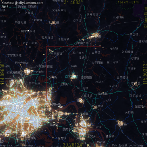
Analysis of Xinzhou night lights 2016
Square area 10x10 km:
 3.15%
3.15%90-99
2.1%80-89
1.75%70-79
0.7%60-69
2.8%50-59
2.27%40-49
1.92%30-39
0.87%20-29
3.32%10-19
3.5%0-9
77.62%Square area 50x50 km:
0.52%90-99
0.52%80-89
0.28%70-79
0.3%60-69
0.6%50-59
0.55%40-49
0.71%30-39
0.38%20-29
0.89%10-19
1.4%0-9
93.85%Clear (daylight) street map image can be seen on geolist.org.
Map coordinates:
31° 28' 5.9" North, 114° 5' 48.8" East
30° 52' 0" North, 114° 48' 0" East
30° 15' 40.5" North, 115° 30' 11.3" East
Some cities around Xinzhou sort by population:
• Wuhan
59.9 km =37.2 mi,  238°
238°
• Huangshi
72.9 km =45.3 mi,  160°
160°
• Ezhou
52 km =32.3 mi,  176°
176°
• Macheng
40.8 km =25.4 mi,  31°
31°
• Huangzhou
46.3 km =28.8 mi, 180°
• Qingquan
63.5 km =39.5 mi,  136°
136°
• Caidian
79.8 km =49.6 mi,  246°
246°
• Huangpi
40.3 km =25 mi,  272°
272°
1788452 (p: 78,767)
Sources (retrieved 2019-11-25):
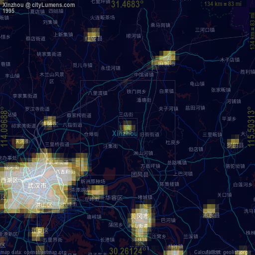
» NASA, Earths city lights 1995
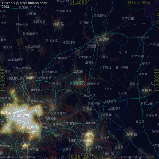
» NASA city lights 2003
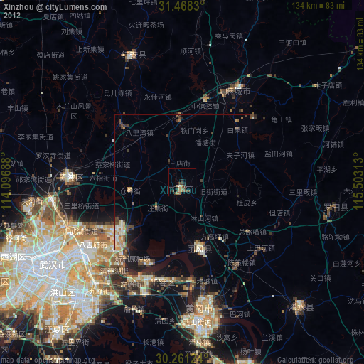
» Earth at Night: Flat Maps 2012, 2016