Qingquan night lights from space
Night Light of Qingquan (Hubei) from space (China) Src. Average luminocity for 10x10km area is 14.6227% and for 50x50km: 2.6808%.
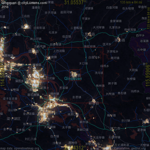
Analysis of Qingquan night lights 2016
Square area 10x10 km:
 0%
0%90-99
0%80-89
1.65%70-79
1.83%60-69
3.11%50-59
4.21%40-49
5.86%30-39
3.85%20-29
4.21%10-19
0.37%0-9
74.91%Square area 50x50 km:
0.14%90-99
0.16%80-89
0.26%70-79
0.3%60-69
0.47%50-59
0.7%40-49
0.62%30-39
0.64%20-29
0.88%10-19
1.51%0-9
94.3%Clear (daylight) street map image can be seen on geolist.org.
Map coordinates:
31° 3' 19.3" North, 114° 33' 10.1" East
30° 27' 4.1" North, 115° 15' 21.3" East
29° 50' 35.2" North, 115° 57' 32.6" East
Some cities around Qingquan sort by population:
• Huangshi
30.2 km =18.8 mi,  221°
221°
• Wuxue
72.6 km =45.1 mi,  156°
156°
• Ezhou
40.9 km =25.4 mi,  262°
262°
• Huangzhou
43.7 km =27.2 mi,  269°
269°
• Xinzhou
63.5 km =39.5 mi,  316°
316°
• Huangmei
79.2 km =49.2 mi,  111°
111°
• Caohe
29.9 km =18.6 mi,  145°
145°
• Daye
50.4 km =31.3 mi, 215°
1797793 (p: 76,154)
Sources (retrieved 2019-11-25):
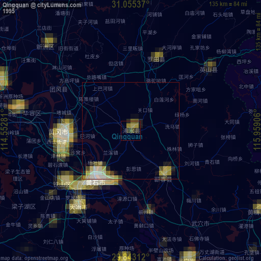
» NASA, Earths city lights 1995
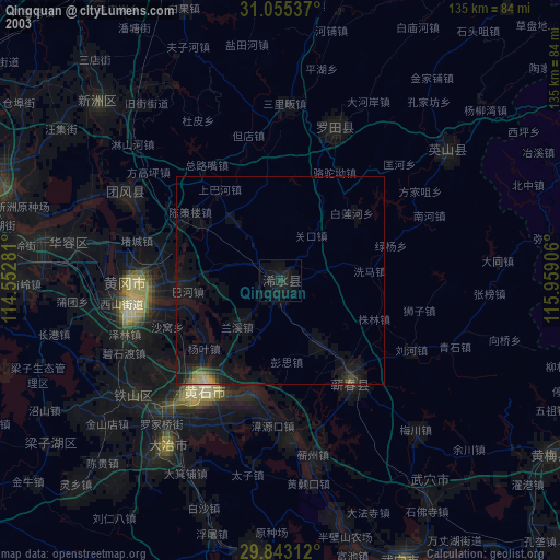
» NASA city lights 2003
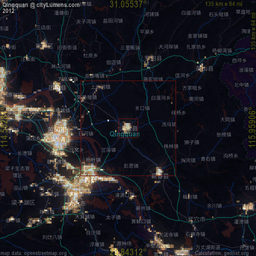
» Earth at Night: Flat Maps 2012, 2016