Bayan Nur night lights from space
Night Light of Bayan Nur (Inner Mongolia) from space (China) Src. Average luminocity for 10x10km area is 33.9562% and for 50x50km: 2.8054%.
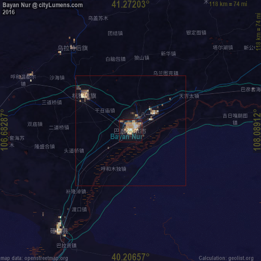
Analysis of Bayan Nur night lights 2016
Square area 10x10 km:
 2.44%
2.44%90-99
3.41%80-89
5.84%70-79
7.95%60-69
11.53%50-59
1.46%40-49
2.92%30-39
2.44%20-29
5.68%10-19
30.03%0-9
26.3%Square area 50x50 km:
0.11%90-99
0.18%80-89
0.52%70-79
0.4%60-69
0.61%50-59
0.27%40-49
0.48%30-39
0.52%20-29
0.5%10-19
1.96%0-9
94.44%Clear (daylight) street map image can be seen on geolist.org.
Map coordinates:
41° 16' 19.3" North, 106° 40' 58.3" East
40° 44' 29.1" North, 107° 23' 9.6" East
40° 12' 23.7" North, 108° 5' 20.8" East
Some cities around Bayan Nur sort by population:
• Ordos
239.3 km =148.7 mi,  121°
121°
• Baotou
205.6 km =127.8 mi,  92°
92°
• Wuhai
127.1 km =79 mi,  202°
202°
• Shizuishan
175.7 km =109.2 mi, 197°
• Dawukou
207 km =128.6 mi, 204°
• Wuda
149.5 km =92.9 mi, 202°
• Dongsheng
242.7 km =150.8 mi, 115°
• Shitanjing
189.6 km =117.8 mi,  207°
207°
11838258 (p: 1,760,000)
Sources (retrieved 2019-11-25):
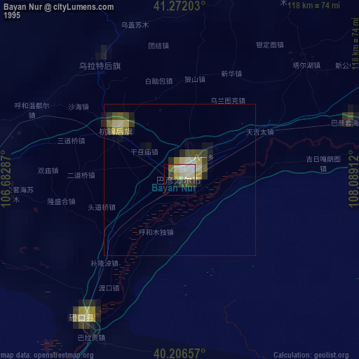
» NASA, Earths city lights 1995
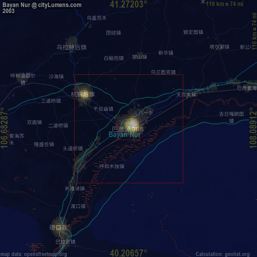
» NASA city lights 2003
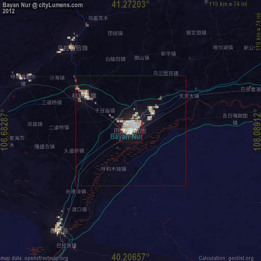
» Earth at Night: Flat Maps 2012, 2016