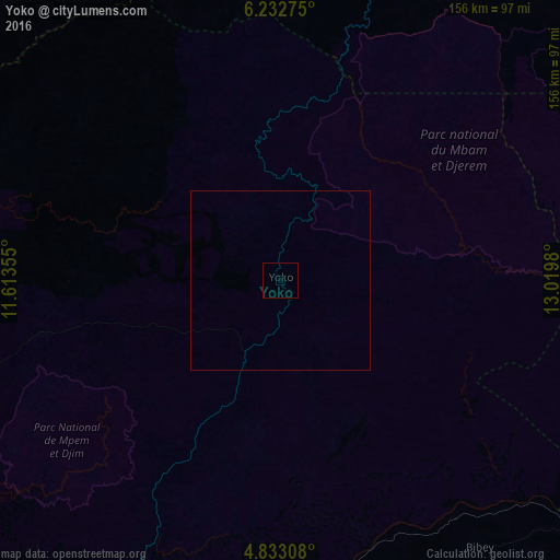
Yoko night lights from space
Night Light of Yoko (Centre) from space (Cameroon) Src. Average luminocity for 10x10km area is 0% and for 50x50km: 0%.
Analysis of Yoko night lights 2016
Square area 10x10 km:
100  0%
0%
90-99 0%
80-89 0%
70-79 0%
60-69 0%
50-59 0%
40-49 0%
30-39 0%
20-29 0%
10-19 0%
0-9 100%
0%90-99
0%80-89
0%70-79
0%60-69
0%50-59
0%40-49
0%30-39
0%20-29
0%10-19
0%0-9
100%Square area 50x50 km:
100 0%
90-99 0%
80-89 0%
70-79 0%
60-69 0%
50-59 0%
40-49 0%
30-39 0%
20-29 0%
10-19 0%
0-9 100%
0%90-99
0%80-89
0%70-79
0%60-69
0%50-59
0%40-49
0%30-39
0%20-29
0%10-19
0%0-9
100%Clear (daylight) street map image can be seen on geolist.org.
Map coordinates:
6° 13' 57.9" North, 11° 36' 48.8" East
5° 31' 60" North, 12° 19' 0" East
4° 49' 59.1" North, 13° 1' 11.3" East
Some cities around Yoko sort by population:
• Nkoteng
117.3 km =72.9 mi,  195°
195°
• Banyo
146.1 km =90.8 mi,  337°
337°
• Tibati
109.2 km =67.9 mi,  18°
18°
• Nanga Eboko
94.7 km =58.8 mi,  176°
176°
• Mbandjok
129 km =80.2 mi, 200°
• Bélabo
127.7 km =79.3 mi,  121°
121°
• Ntui
142.3 km =88.4 mi,  212°
212°
• Bankim
109.9 km =68.3 mi,  303°
303°
2220849 (p: 5,269)
Sources (retrieved 2019-11-25):
» Earth at Night: Flat Maps 2012, 2016