Mbandjok night lights from space
Night Light of Mbandjok (Centre) from space (Cameroon) Src. Average luminocity for 10x10km area is 1.1033% and for 50x50km: 0.0865%.
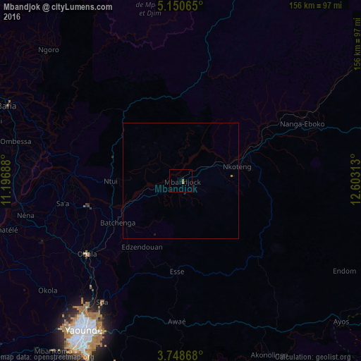
Analysis of Mbandjok night lights 2016
Square area 10x10 km:
100  0%
0%
90-99 0%
80-89 0%
70-79 0.21%
60-69 1.45%
50-59 0%
40-49 0%
30-39 0%
20-29 0%
10-19 0%
0-9 98.35%
0%90-99
0%80-89
0%70-79
0.21%60-69
1.45%50-59
0%40-49
0%30-39
0%20-29
0%10-19
0%0-9
98.35%Square area 50x50 km:
100 0%
90-99 0%
80-89 0%
70-79 0.04%
60-69 0.06%
50-59 0%
40-49 0%
30-39 0%
20-29 0.02%
10-19 0.02%
0-9 99.86%
0%90-99
0%80-89
0%70-79
0.04%60-69
0.06%50-59
0%40-49
0%30-39
0%20-29
0.02%10-19
0.02%0-9
99.86%Clear (daylight) street map image can be seen on geolist.org.
Map coordinates:
5° 9' 2.3" North, 11° 11' 48.8" East
4° 27' 0" North, 11° 54' 0" East
3° 44' 55.2" North, 12° 36' 11.3" East
Some cities around Mbandjok sort by population:
• Yaoundé
77.5 km =48.2 mi,  213°
213°
• Bafia
81.1 km =50.4 mi,  294°
294°
• Nkoteng
16.5 km =10.3 mi,  63°
63°
• Obala
51.4 km =31.9 mi,  232°
232°
• Nanga Eboko
57.9 km =36 mi, 63°
• Ntui
29.6 km =18.4 mi,  270°
270°
• Saa
50.7 km =31.5 mi,  259°
259°
• Okola
74.9 km =46.5 mi, 229°
2228028 (p: 26,947)
Sources (retrieved 2019-11-25):
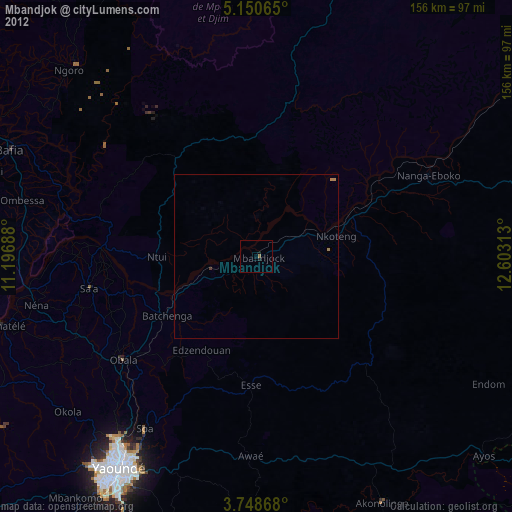
» Earth at Night: Flat Maps 2012, 2016