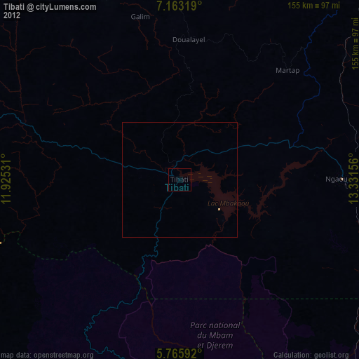
Tibati night lights from space
Night Light of Tibati (Adamaoua) from space (Cameroon) Src. Average luminocity for 10x10km area is 0% and for 50x50km: 0.0505%.
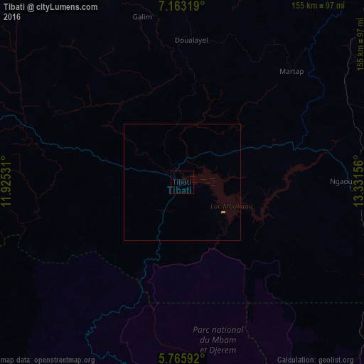
Analysis of Tibati night lights 2016
Square area 10x10 km:
 0%
0%90-99
0%80-89
0%70-79
0%60-69
0%50-59
0%40-49
0%30-39
0%20-29
0%10-19
0%0-9
100%Square area 50x50 km:
0%90-99
0%80-89
0%70-79
0.07%60-69
0%50-59
0%40-49
0%30-39
0%20-29
0%10-19
0%0-9
99.93%Clear (daylight) street map image can be seen on geolist.org.
Map coordinates:
7° 9' 47.5" North, 11° 55' 31.1" East
6° 27' 54.1" North, 12° 37' 42.3" East
5° 45' 57.3" North, 13° 19' 53.6" East
Some cities around Tibati sort by population:
• Ngaoundéré
142.6 km =88.6 mi,  47°
47°
• Meïganga
184.8 km =114.8 mi,  88°
88°
• Banyo
95.1 km =59.1 mi,  289°
289°
• Bélabo
185.8 km =115.5 mi,  156°
156°
• Gembu, NG
154.3 km =95.9 mi,  280°
280°
• Kontcha
172.6 km =107.2 mi,  345°
345°
• Bankim
132.7 km =82.5 mi,  251°
251°
• Yoko
109.2 km =67.9 mi,  198°
198°
2221530 (p: 35,589)
Sources (retrieved 2019-11-25):
» Earth at Night: Flat Maps 2012, 2016