Bankim night lights from space
Night Light of Bankim (Adamaoua) from space (Cameroon) Src. Average luminocity for 10x10km area is 0% and for 50x50km: 0%.
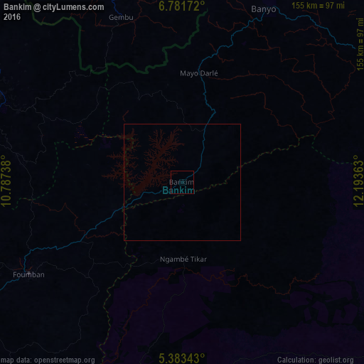
Analysis of Bankim night lights 2016
Square area 10x10 km:
100  0%
0%
90-99 0%
80-89 0%
70-79 0%
60-69 0%
50-59 0%
40-49 0%
30-39 0%
20-29 0%
10-19 0%
0-9 100%
0%90-99
0%80-89
0%70-79
0%60-69
0%50-59
0%40-49
0%30-39
0%20-29
0%10-19
0%0-9
100%Square area 50x50 km:
100 0%
90-99 0%
80-89 0%
70-79 0%
60-69 0%
50-59 0%
40-49 0%
30-39 0%
20-29 0%
10-19 0%
0-9 100%
0%90-99
0%80-89
0%70-79
0%60-69
0%50-59
0%40-49
0%30-39
0%20-29
0%10-19
0%0-9
100%Clear (daylight) street map image can be seen on geolist.org.
Map coordinates:
6° 46' 54.2" North, 10° 47' 14.6" East
6° 4' 58.9" North, 11° 29' 25.8" East
5° 23' 0.3" North, 12° 11' 37.1" East
Some cities around Bankim sort by population:
• Foumban
76.5 km =47.5 mi,  238°
238°
• Foumbot
114.4 km =71.1 mi, 236°
• Kumbo
92 km =57.2 mi,  278°
278°
• Banyo
82.5 km =51.3 mi,  25°
25°
• Tibati
132.7 km =82.5 mi,  71°
71°
• Gembu, NG
76 km =47.2 mi,  340°
340°
• Yoko
109.9 km =68.3 mi,  123°
123°
• Jakiri
92.9 km =57.7 mi,  271°
271°
2230285 (p: 5,727)
Sources (retrieved 2019-11-25):
» Earth at Night: Flat Maps 2012, 2016