Nanga Eboko night lights from space
Night Light of Nanga Eboko (Centre) from space (Cameroon) Src. Average luminocity for 10x10km area is 0% and for 50x50km: 0%.
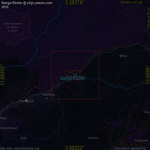
Analysis of Nanga Eboko night lights 2016
Square area 10x10 km:
100  0%
0%
90-99 0%
80-89 0%
70-79 0%
60-69 0%
50-59 0%
40-49 0%
30-39 0%
20-29 0%
10-19 0%
0-9 100%
0%90-99
0%80-89
0%70-79
0%60-69
0%50-59
0%40-49
0%30-39
0%20-29
0%10-19
0%0-9
100%Square area 50x50 km:
100 0%
90-99 0%
80-89 0%
70-79 0%
60-69 0%
50-59 0%
40-49 0%
30-39 0%
20-29 0%
10-19 0%
0-9 100%
0%90-99
0%80-89
0%70-79
0%60-69
0%50-59
0%40-49
0%30-39
0%20-29
0%10-19
0%0-9
100%Clear (daylight) street map image can be seen on geolist.org.
Map coordinates:
5° 23' 1.5" North, 11° 39' 48.8" East
4° 40' 60" North, 12° 22' 0" East
3° 58' 56" North, 13° 4' 11.3" East
Some cities around Nanga Eboko sort by population:
• Nkoteng
41.3 km =25.7 mi,  243°
243°
• Obala
108.8 km =67.6 mi, 238°
• Mbandjok
57.9 km =36 mi, 243°
• Bélabo
107.1 km =66.5 mi,  74°
74°
• Akonolinga
102.7 km =63.8 mi,  187°
187°
• Ntui
85.3 km =53 mi,  252°
252°
• Saa
107.5 km =66.8 mi, 250°
• Yoko
94.7 km =58.8 mi,  356°
356°
2225457 (p: 29,909)
Sources (retrieved 2019-11-25):
» Earth at Night: Flat Maps 2012, 2016